Copper Island
North Shuswap
Trail Information
| Distance | 3 km (round trip) km |
|---|---|
| Duration | 1 Hour (round trip) |
| Difficulty |  More Difficult More Difficult |
| Access Map | Google Maps |
| Latitude / Longitude | 50.91310254, -119.4019252 |
| Activities |    |
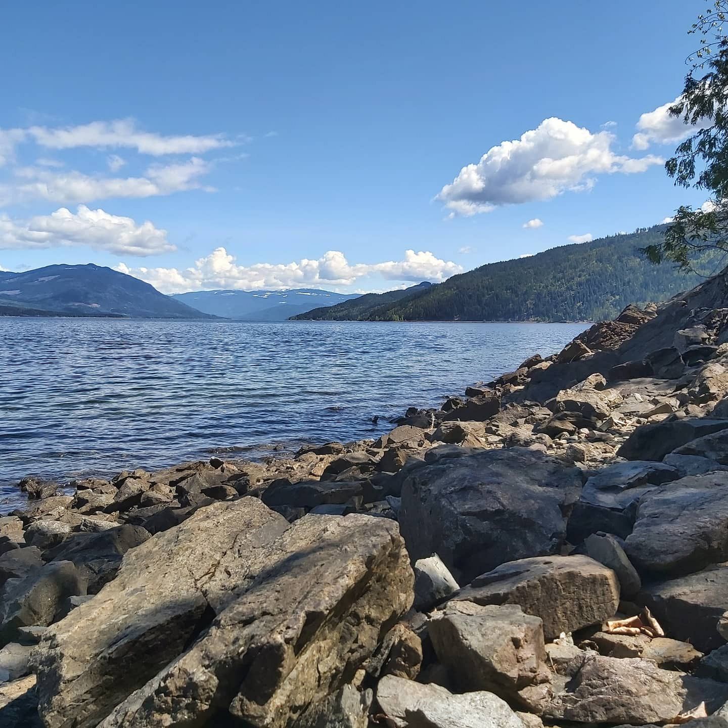
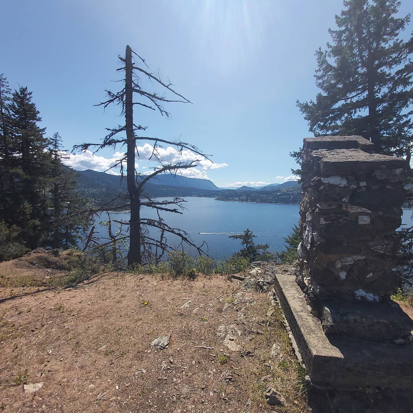
Steep cliffs. No camping or fires permitted on the island. Water access only.
About
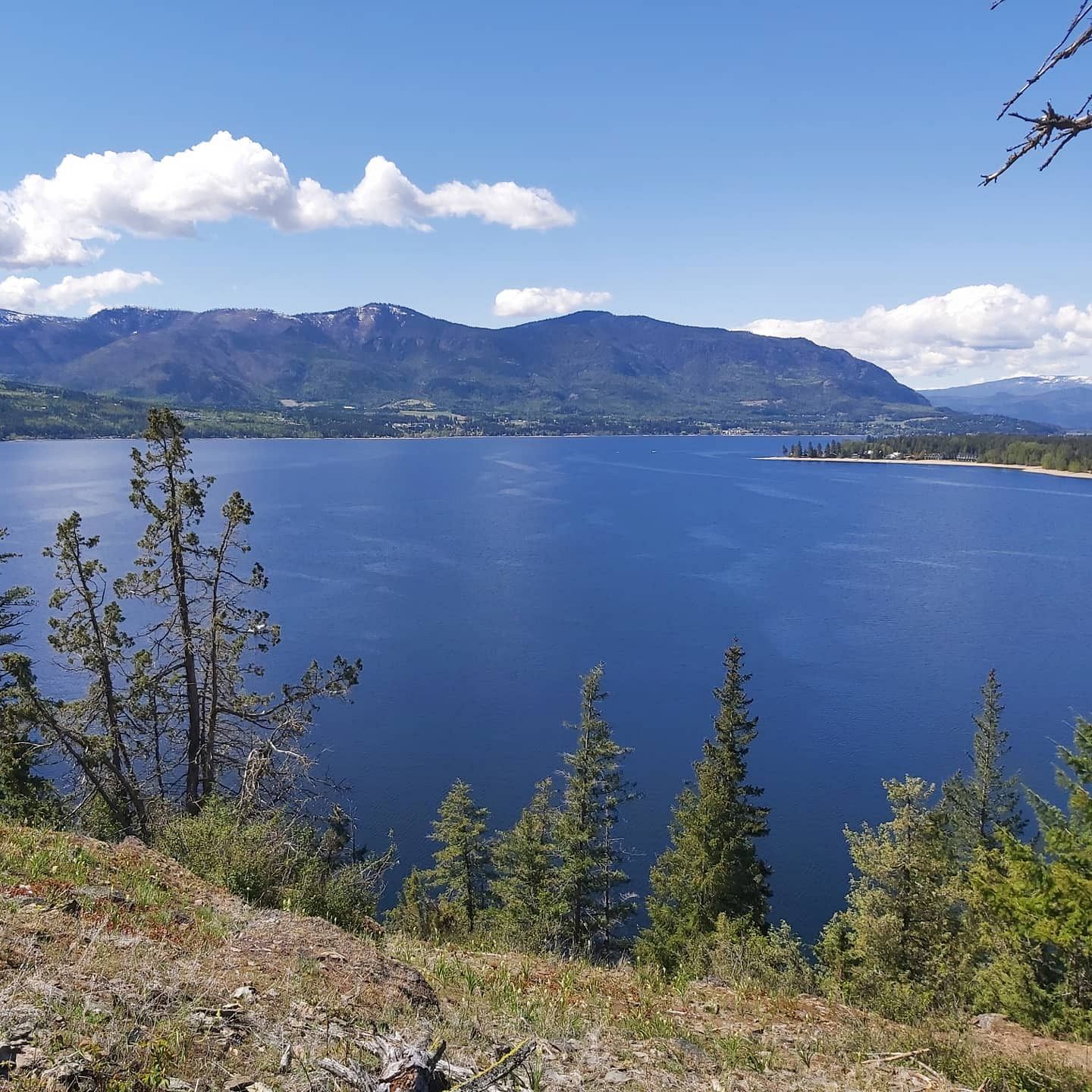
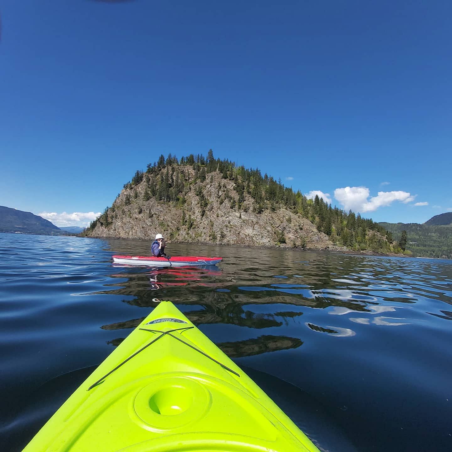
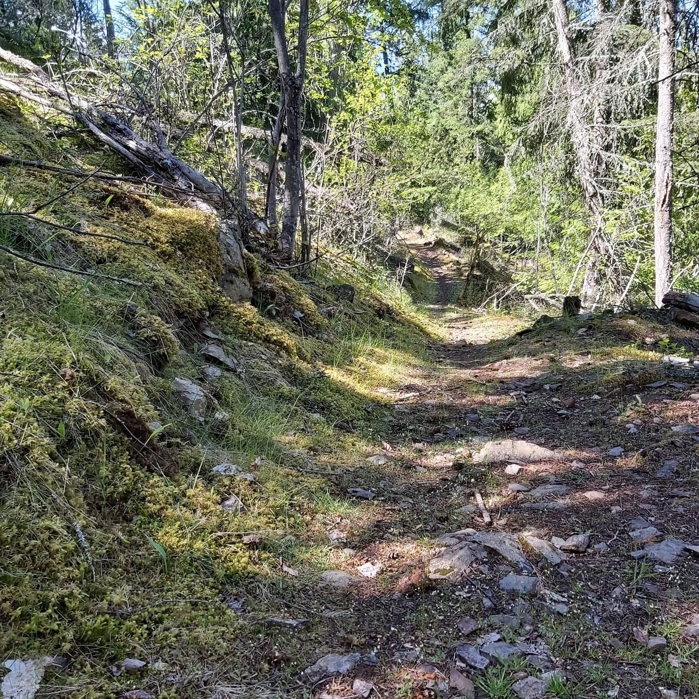
This loop trail to the summit of the sole island in Shuswap Lake provides panoramic views of the lake and Blind Bay. Makes a perfect paddle and hike from the Shuswap Lake Provincial Park in Scotch Creek.
For more information, visit bcparks.ca.
Access
Take the Squilax-Anglemont Rd exit off Hwy 1 and follow it for approx. 18 km to Scotch Creek. Turn right into Shuswap Lake Provincial Park and park at the boat launch day-use parking. Copper Island is located 2 km offshore. Boat or paddle to the east side of the island to a small beach and trail signs.
Photos Submit photos
Nearby Trails
McArthur Heights
Distance: 1353
Duration: 1 Hour (one way) from McArthur Heights Trailhead, 2.5 Hours (one way) from Balmoral Trailhead
Difficulty:  Most Difficult
Mt Tuam Bike Park
Distance: 776
Duration: 0.25 - 0.5+ Hour
Difficulty:  Easy to More Difficult
Exploring Respectfully
Shuswap Trails
Fostering a healthy, engaged community in the Shuswap Region – economic/environmental/social – through well designed, maintained, and promoted trails connecting people, culture, and landscape