Mount Rose Swanson
Enderby & Area
Trail Information
| Distance | 4-8 km (round trip) km |
|---|---|
| Duration | 1.5-3 + Hours (round trip) |
| Difficulty |  More Difficult More Difficult |
| Geo Referenced PDF | View Map |
| Access Map | Google Maps |
| Latitude / Longitude | 50.461888, -119.26841 |
| Activities |       |
About
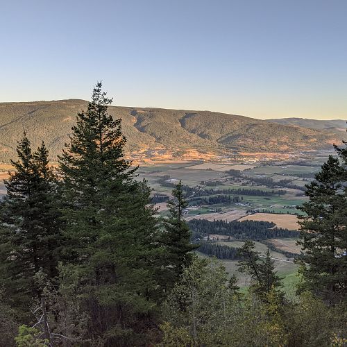
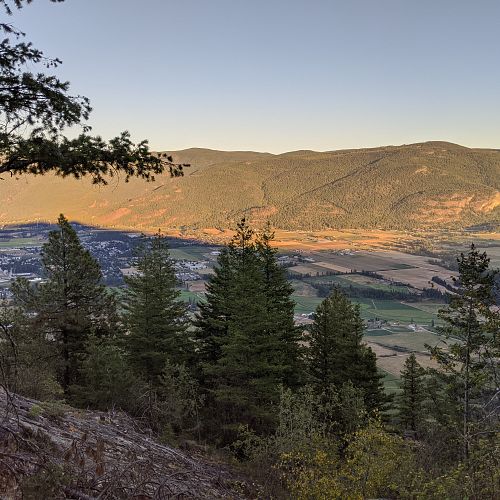
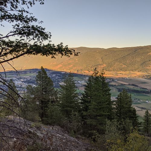
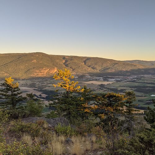
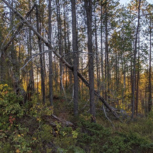
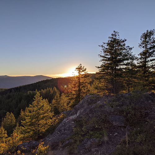
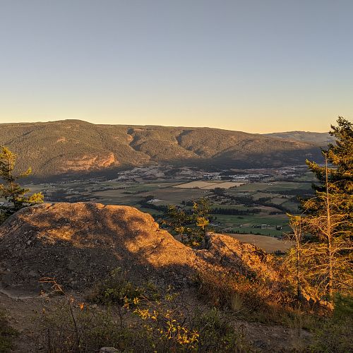
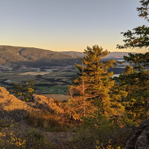
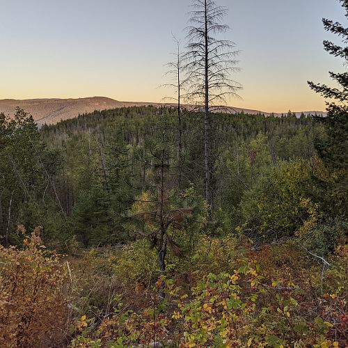
A variety of forested trails loop to several smaller summits and rock bluffs overlooking the Spallumcheen Valley above Armstrong.
Named after Rose Swanson, the daughter of Catherine and Augustus Shubert, famous Overlanders settlers who homesteaded in the area in 1862. The two main trails, Aspen and Centennial, join to make a 4.84 km loop, with alternate side loops off each creating options for extended trips and access to Mt Rose and Mt Swanson summits. A trail map is posted at the trailhead and each junction. Trail development in the area is ongoing by the Armstrong Spallumcheen Trails Society.
For maps and more information visit astrailssociety.com.
Access
Heading south on Hwy 97A at Armstrong, take the Pleasant Valley Blvd entrance into town, then take the first right hand turn across the tracks, the second left turn onto Wood Ave and continue up the hill and across the tracks where the road becomes the Salmon River Road. Continue west on Salmon River Road out of Armstrong for about 4 km traveling through three right angle turns before you come to Hallam Rd, turn left and continue for approx. 2 km through two more right hand turns. As the road heads into the next corner, look for Chamberlain Rd heading south on your left, make the sharp turn back onto Chamberlain continuing south along the now gravel road for approx. 2 km, staying left at the fork. The parking area is on the left a few hundred metres further on. NOTE: Equestrian riders, there is limited parking at the trailhead for trailers.
Photos Submit photos
Nearby Trails
Exploring Respectfully
Shuswap Trails
Fostering a healthy, engaged community in the Shuswap Region – economic/environmental/social – through well designed, maintained, and promoted trails connecting people, culture, and landscape

 Easy
Easy