Mara Lookout
Sicamous & East Shuswap
Trail Information
| Distance | 9.4 km (one way) km |
|---|---|
| Duration | 2.5 Hours (one-way) |
| Difficulty |  More Difficult More Difficult |
| Geo Referenced PDF | View Map |
| Access Map | Google Maps |
| Latitude / Longitude | 50.82866779, -118.83503882 |
| Activities |      |
Watch for active logging use of the forestry road and obey all signs. A sign at km 0 may indicate a temporary road closure during very active logging. 2-way radio use is recommended. Contact the Ministry of Forests for road updates. Be well prepared, as this is remote backcountry and active Grizzly habitat.
About
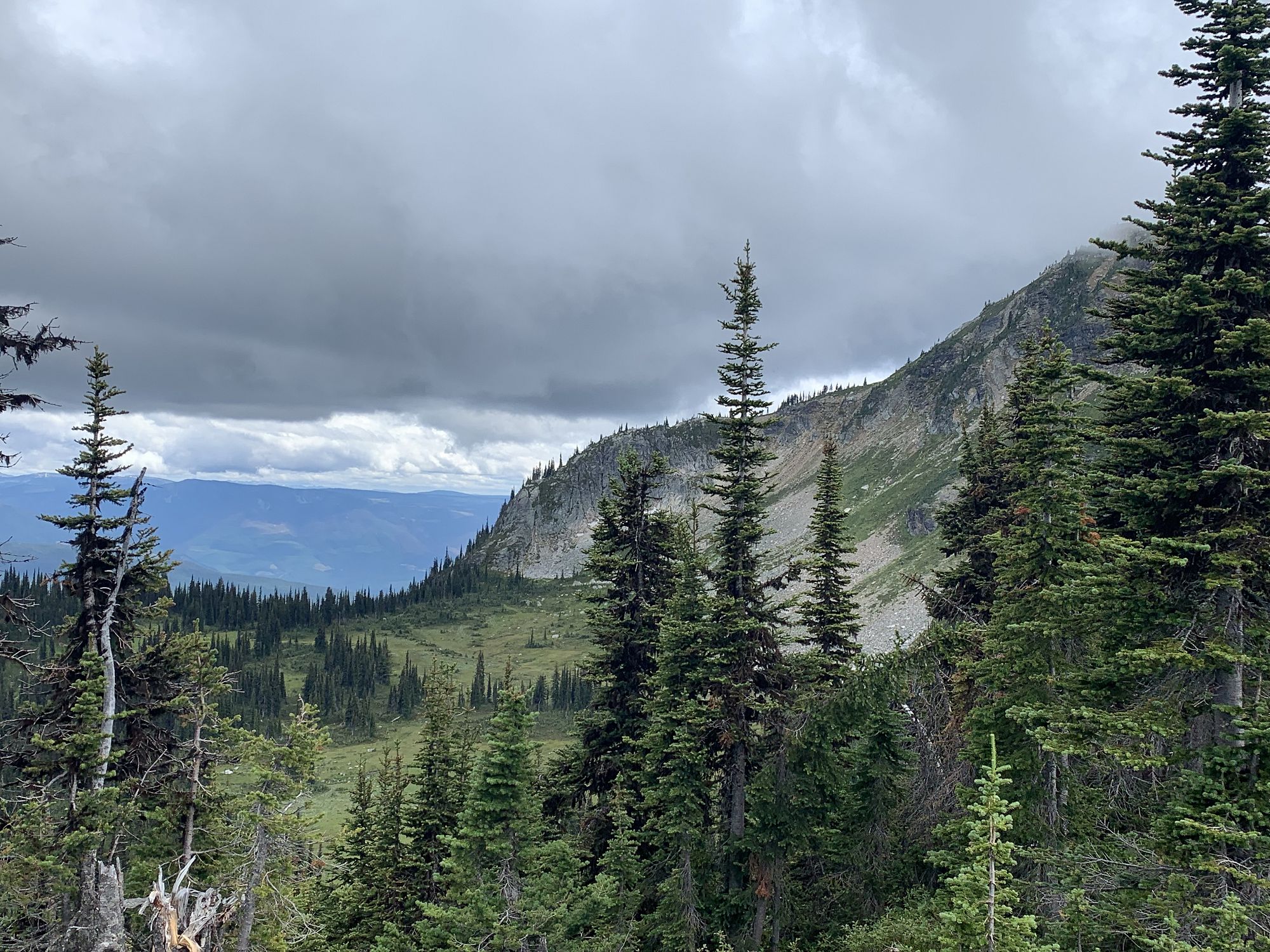
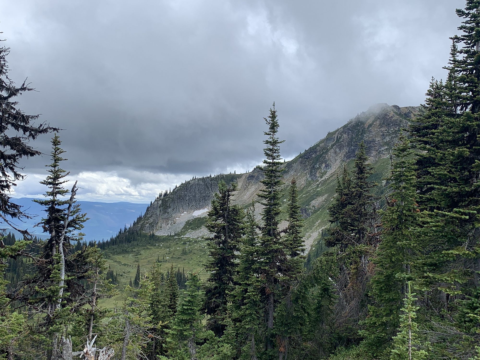
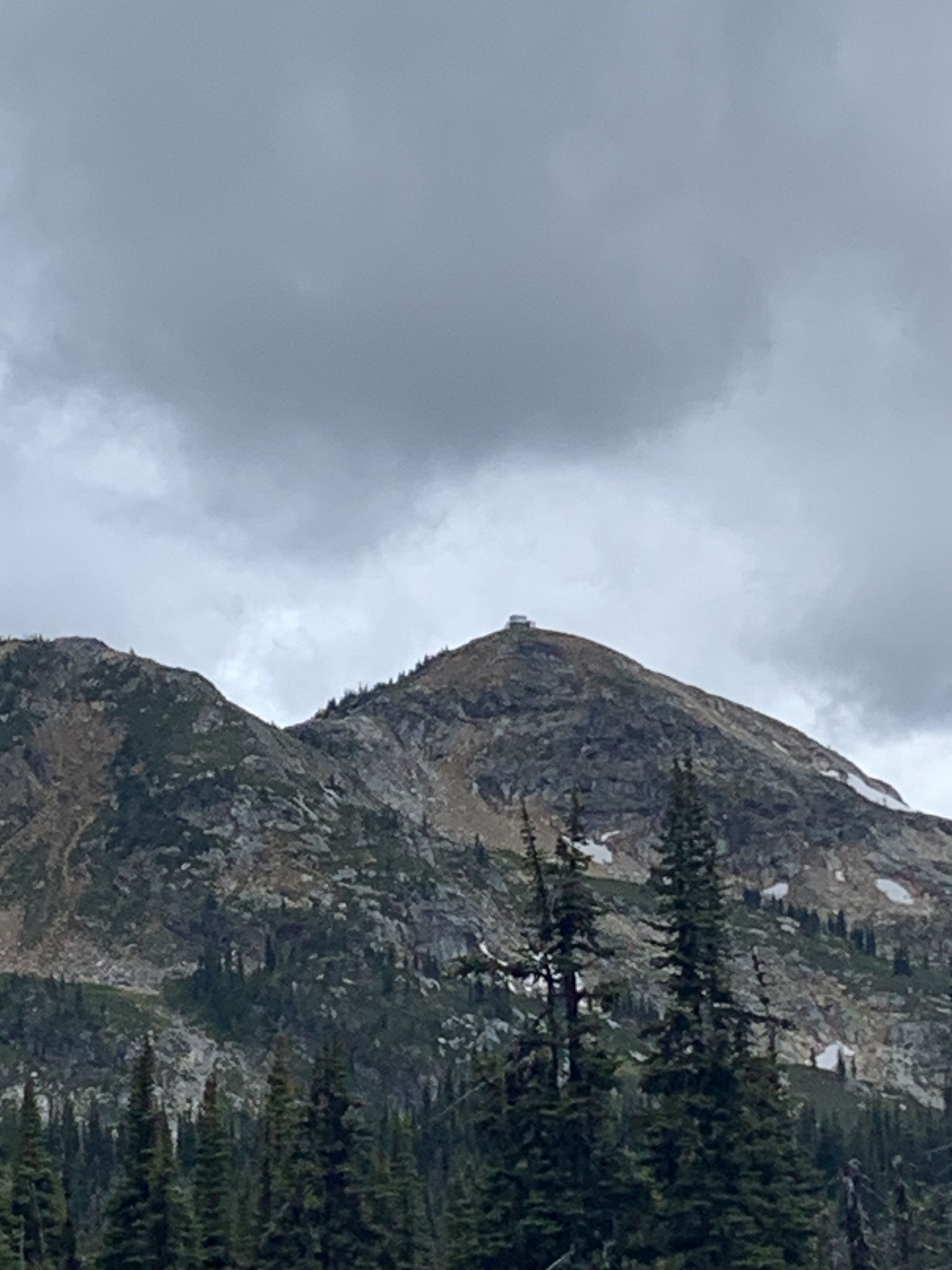
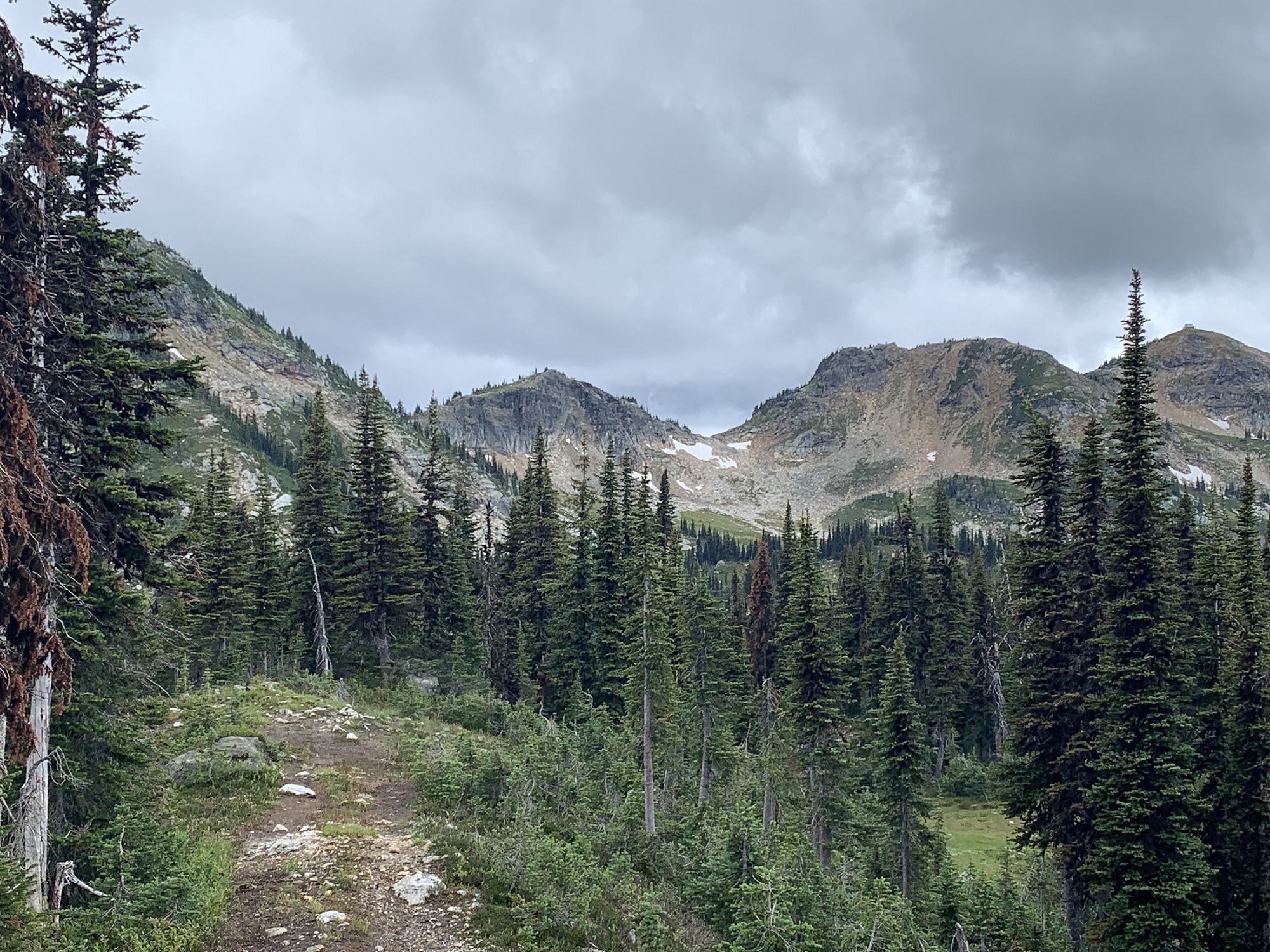
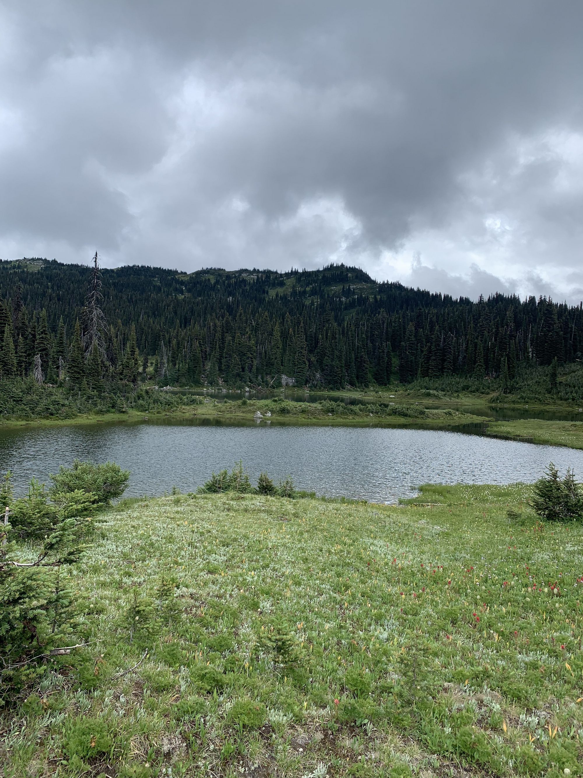
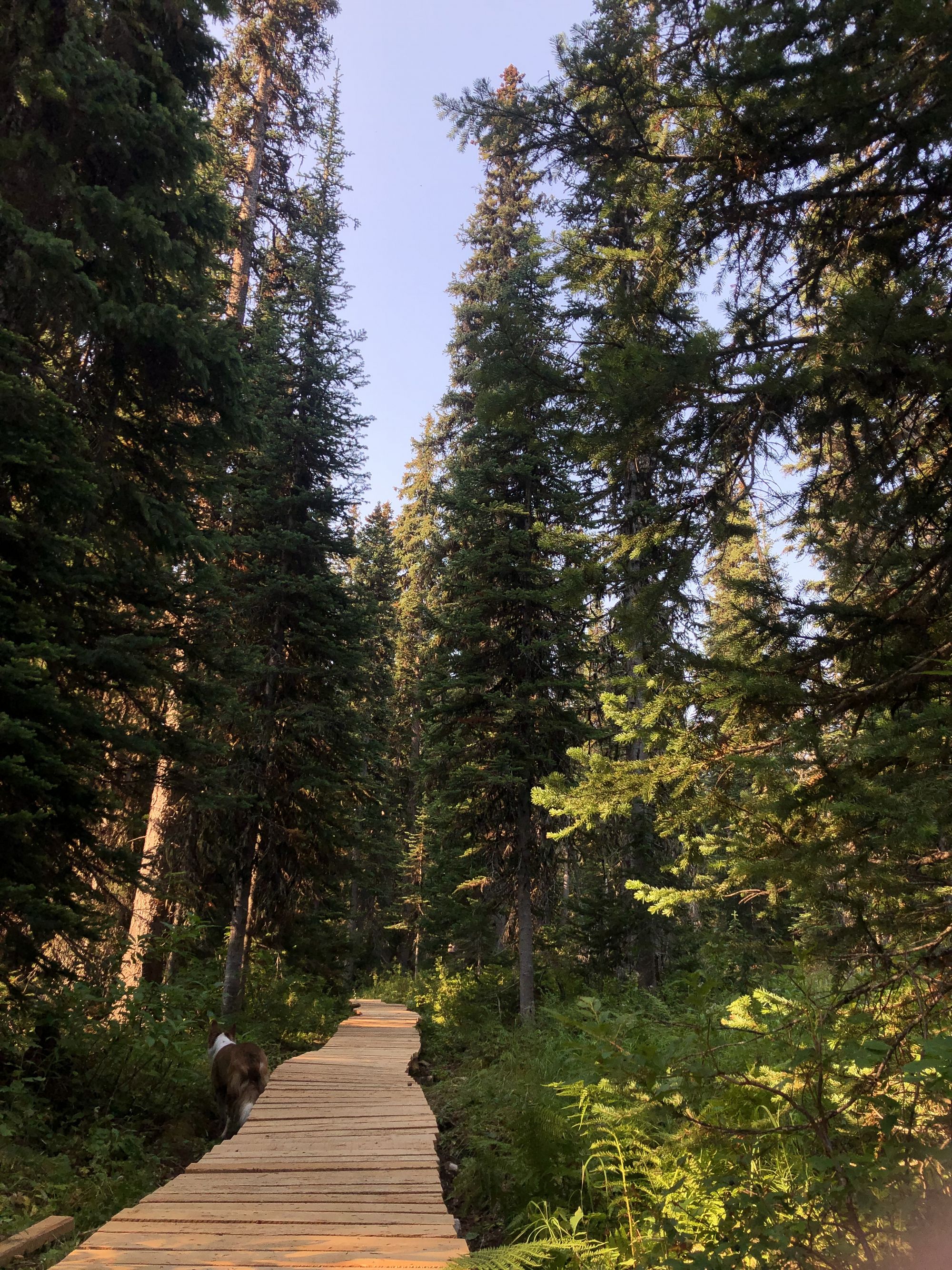
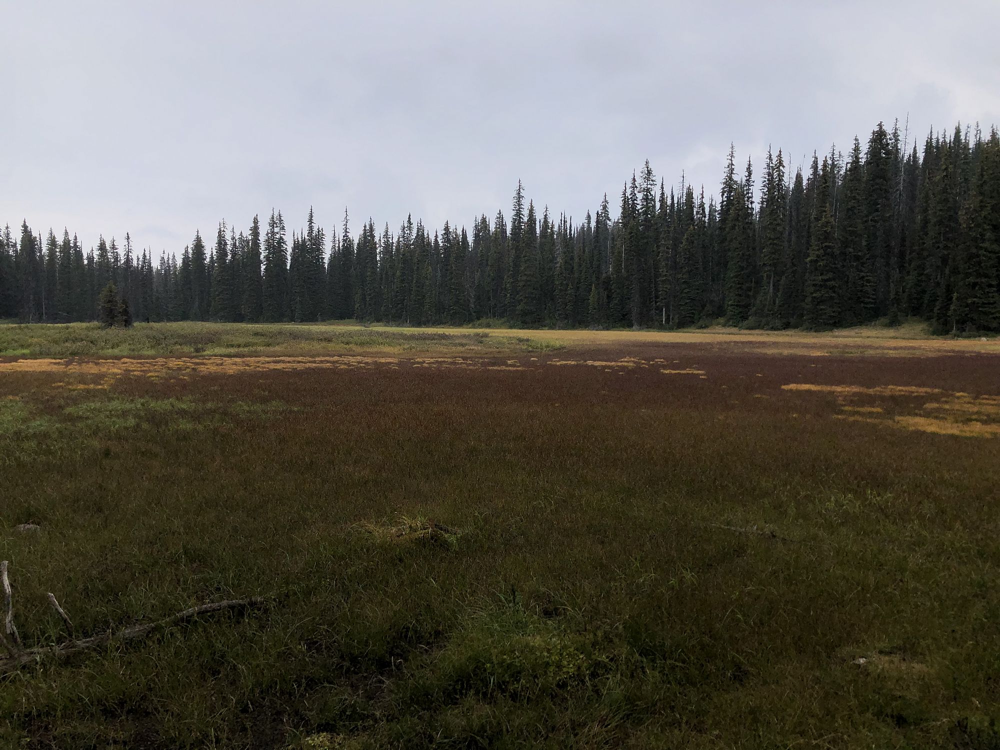
A full-day hike requiring route finding in alpine/subalpine terrain. This 9.4 km trail partially follows the historic fire lookout pack trail to the Mara Fire Lookout on Morton Peak and features boardwalks, alpine meadows, rugged mountain bluffs, and spectacular views of Mabel, Shuswap, and Morton Lakes as well as the Monashee Mountains.
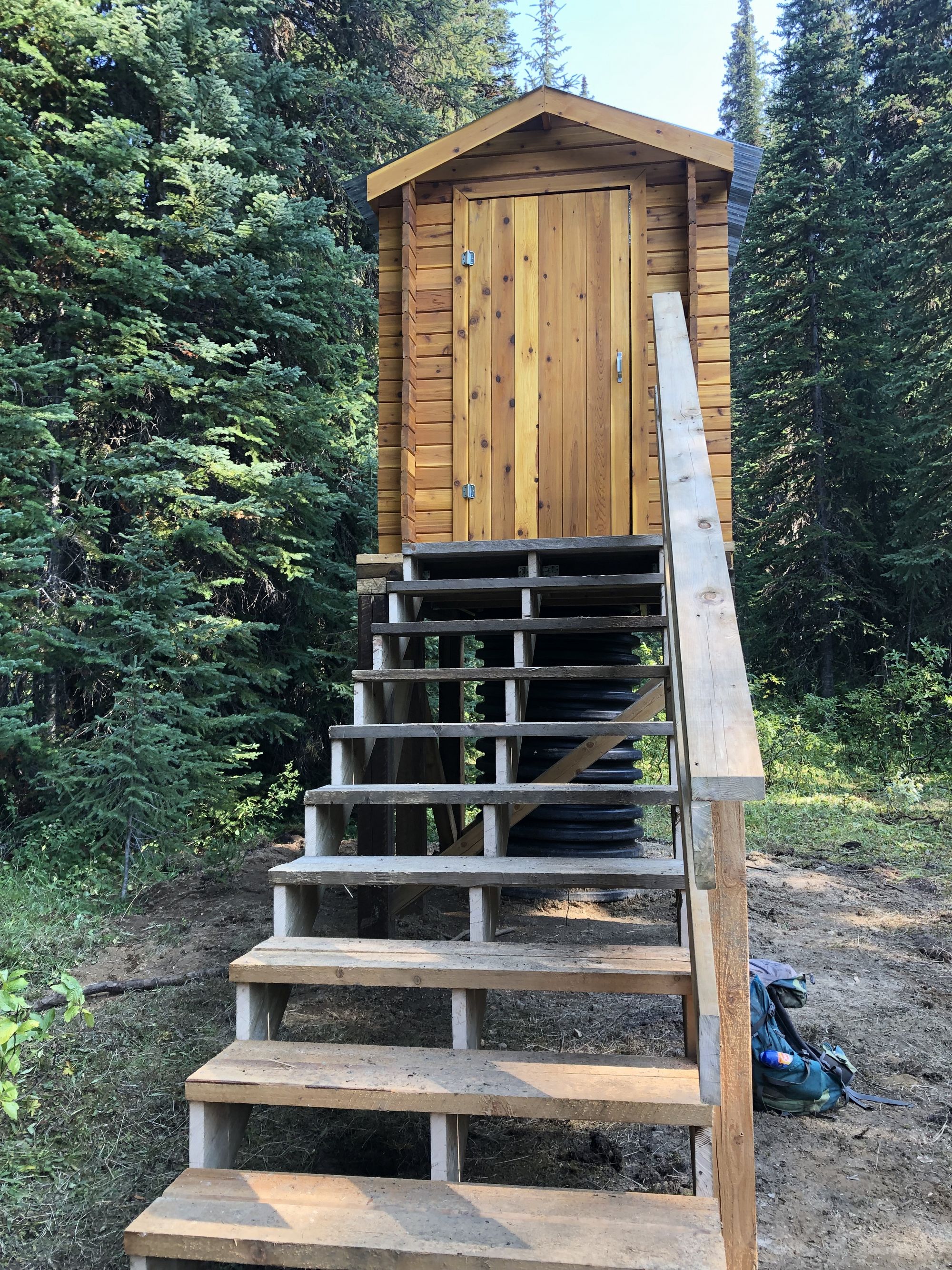
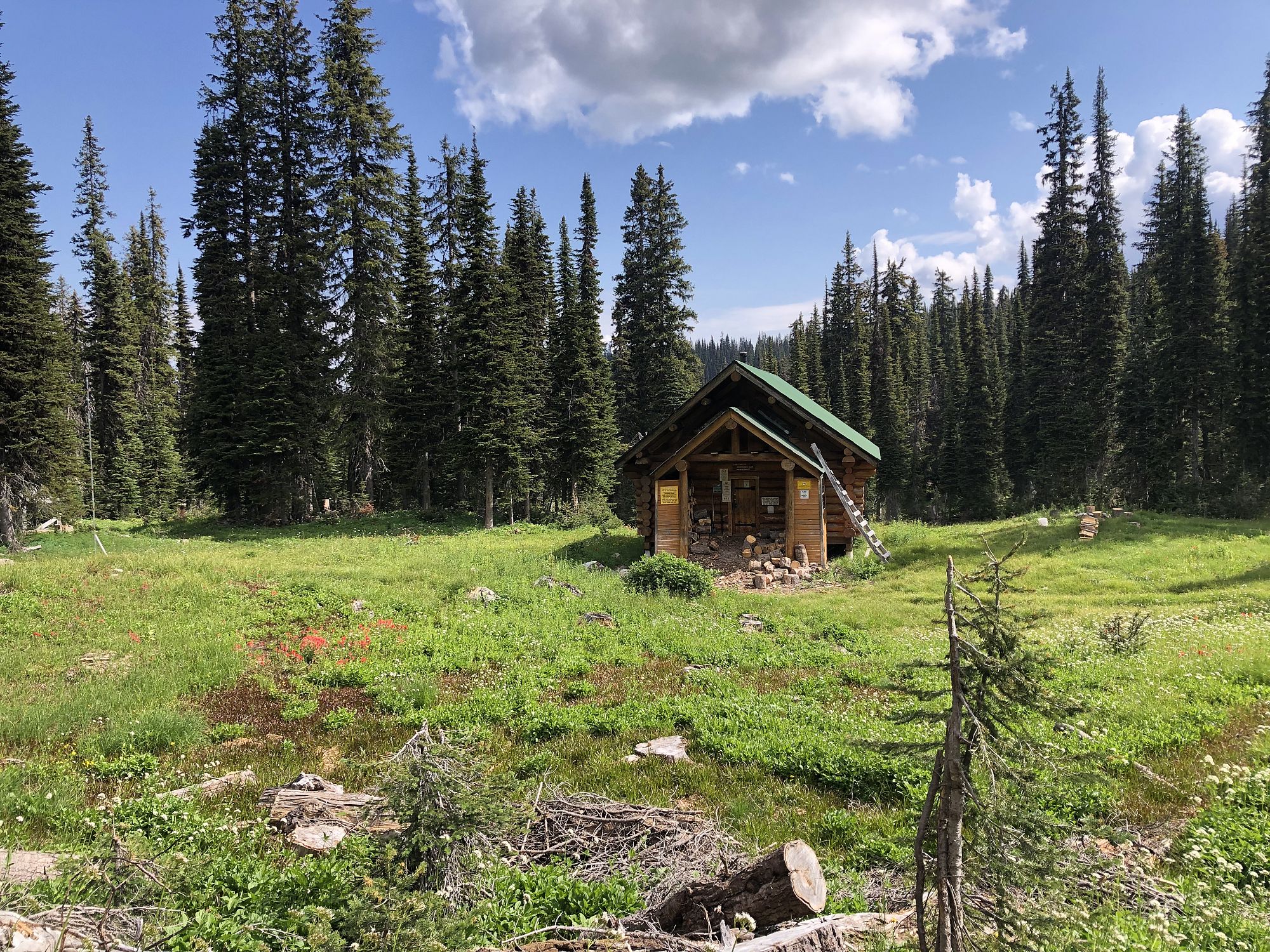
The hiking trail starts on the pack trail, passes the original Cache Cabin, then continues climbing up through the forest into sub-alpine forests and meadows. When you get into the meadows, follow the new trail with blazes and flagging tape to protect the delicate meadow ecosystem. The maintained trail ends at a 4x4 post where the trail enters Kingfisher Creek Provincial Park. From this point the trail is flagged but less obvious in places; route finding, knowledge of the area, or good mapping software (like Avenza paired with our georeferenced PDF map) is required to visit the Eagle Valley Snowmobile Club’s Owlhead cabin and summit Morton Peak to visit the Mara Fire Lookout.
Owlhead Cabin: To visit the Eagle Valley Snowmobile Club’s impressive log built Owlhead cabin from the 4x4 post marking the end of the maintained trail, head northeast for approx. 80 m into the alpine meadows, then north another approx. 120 m to the cabin. You should be able to see the cabin’s green roof to the north when you enter the meadow.
Mara Fire Lookout: From the end of the maintained trail, avoid the eroded moto trails that are closed to summer use and follow a flagged scenic hiking trail that passes alpine lakes, skirts around the east side of Skinny Ridge, then comes out in an alpine bowl (aptly named “Super Bowl” by sledders) below a ridgeline with Morton Peak at the south end. Once in Super Bowl follow cairns that traverse the edge of the alpine meadow and up to the closest saddle in the ridgeline east of Morton Peak. Once you attain the saddle follow the trail around the south side of the ridge and up to Morton Peak.
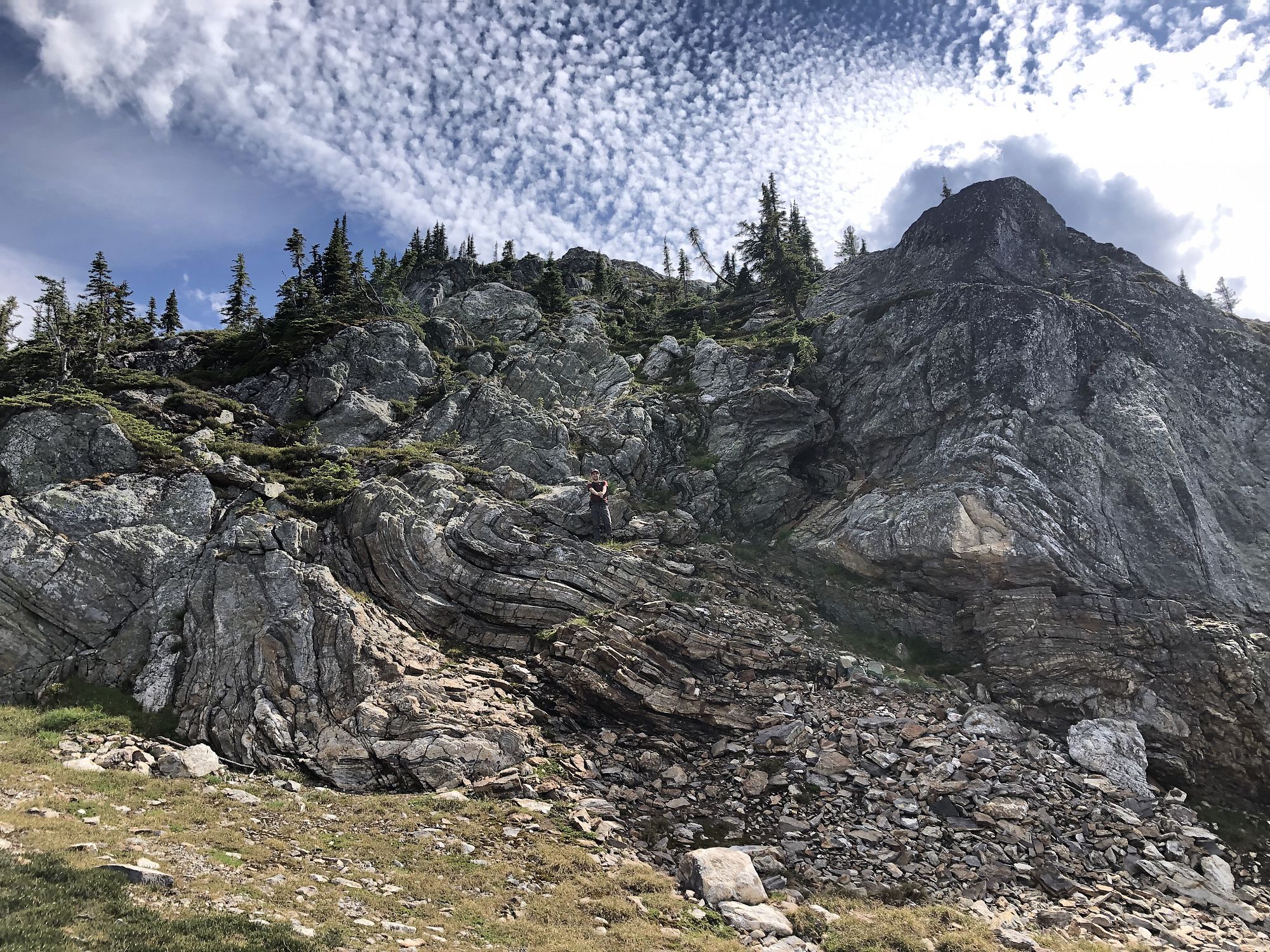
An alternate route suitable for steady-footed hikers is to traverse across Super Bowl and up a couple large grassy shelves until you get to a rock face with unique metamorphic folding. Carefully walk up the rock face on the natural ledges. Continue climbing up left of the scree slope to the saddle just east of Morton Peak, skirting any snow and being cautious of the loose rock. You can find the old telegraph wire from the fire lookout in places here. From the saddle you rejoin the main trail up to the summit and fire lookout.
Access
At the east end of Sicamous on Hwy 1, turn right onto McLean-McPherson Rd and go to its end where the Owlhead FSR starts. Drive past the 17 km marker and yellow provincial park gate to where a Landmark post on the right (south) marks the trailhead. Park well off the side of the road in the wide area across from the trailhead to avoid blocking forestry traffic. Obey all road use notices.
Photos Submit photos
Nearby Trails
 Easy
EasyExploring Respectfully
Shuswap Trails
Fostering a healthy, engaged community in the Shuswap Region – economic/environmental/social – through well designed, maintained, and promoted trails connecting people, culture, and landscape