Welcome to Secwépemc Territory
and Shuswap Trails
Please treat the Secwépemc Land and the people with respect. All of the trails on this website are within the Traditional Territory of the Southern Secwépemc First Nation. This is the homeland of the Neskonlith, Skwlāx te Secwepemcúl̓ecw (formerly Little Shuswap Lake), Adams Lake, and Splatsin First Nations. For generations these Indigenous communities have preserved the abundance of wildlife and the natural beauty of this land in their pristine environment. The flora and fauna of these Shuswap First Nation lands are a photographer’s dream. With all that these lands have to offer, they ask that you visit, or come to stay. The Indigenous communities in this region ask in return that you treat the land and the people with respect. This is their home for the short time that they are here on Mother Earth, but it is the home of their great spirit for eternity. Please respect the Indigenous Territorial Lands in the Shuswap region by obeying signs where there are sensitive cultural areas. These trails are yours to enjoy today and for the future generations of tomorrow.
Silent Auction February 6th to 15th, 2026.
The Shuswap Trails Online Silent Auction launches on February 6th. Click here for the link to the Auction or for a Quick Look click here.
Be Sure to Report Trail Needs:
Enjoy trails throughout the Shuswap. And remember to report any issues you see to here.
Geo Referenced PDF Map Tutorials
Did you know that there is a geo referenced map available for most of the trails? Geo referenced maps help you navigate in the field, using your phone's GPS system these PDF's function as a base map, and can be easily uploaded into a free app on your smart phone. Check out one of the tutorial videos below!
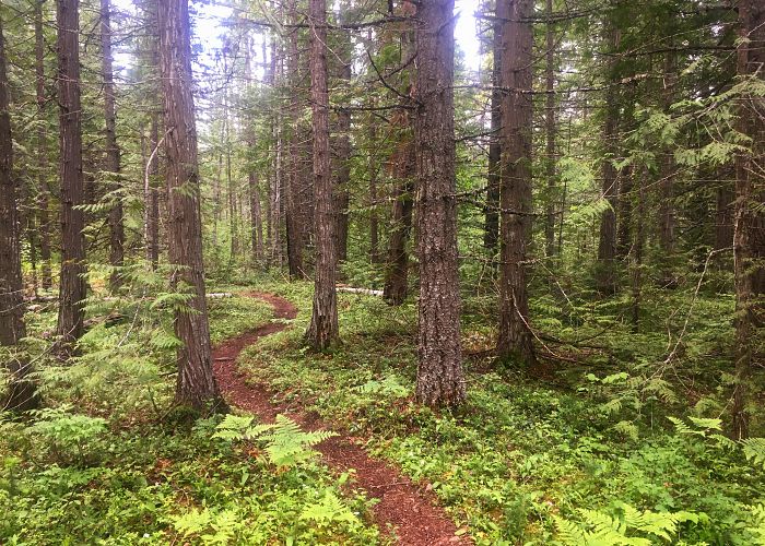
Shuswap Trails Are Open
Please practice safe trail use, and continue to update us with Trail Reports on the conditions of the local trails thorughout the Shuswap. This helps us identify work needed, update respective trail managers and partners, and to track trail issues. And if you're interested in helping out by setting out on your own personal or family/friends bubble volunteer adventure to help clean, clear, fix, or finish a local trail, give us a shout. We'll get you set up and ensure the local trail managers know, too.
Make your trail report here or on the trailfork app at www.trailforks.com
Enjoy local trails and be courteous to other users.
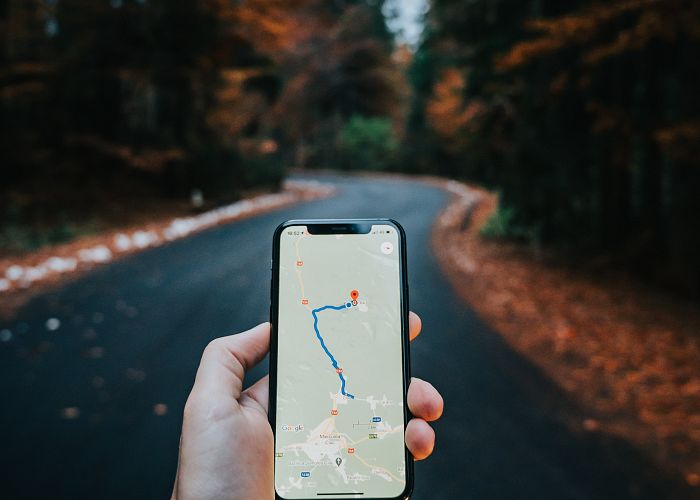
Geo-Referenced PDF Maps
Thanks to the spectacular partnership with the great folks at the Columbia Shuswap Regional District GIS Department, many Shuswap Trail listings have geo-referenced pdf maps you can print out just like normal maps, or use uploaded to your smart phone for navigation in the field. Maps can be printed, or uploaded into mobile apps like Avenzas PDF Maps, which let these pdf's function as a base map with your phone's gps system. Our sincere thanks to all the talented, passionate, and committed GIS folks at the CSRD. And special thanks, also, to the Salmon Arm MRDT Hotel Tax funding that also supports this initiative. Thank you all!
Check out the videos below for instructions on uploading geo referenced pdf maps!!
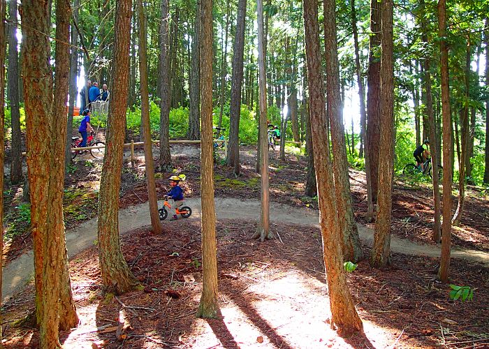
Trail Notices
Check www.shuswaptrails.com for update notices on trail conditions throughout the region. But please remember - while we make every effort to keep info postings up-to-date there's lots going on so we may have missed something. Let us know through the Report Trail Issue form. Other good sources of current trail info online include the Shuswap Bike Club website at www.shuswapbike.com, Larch Hills Nordic at www.skilarchhills.ca, and trail sites like our good friends at www.trailforks.com.
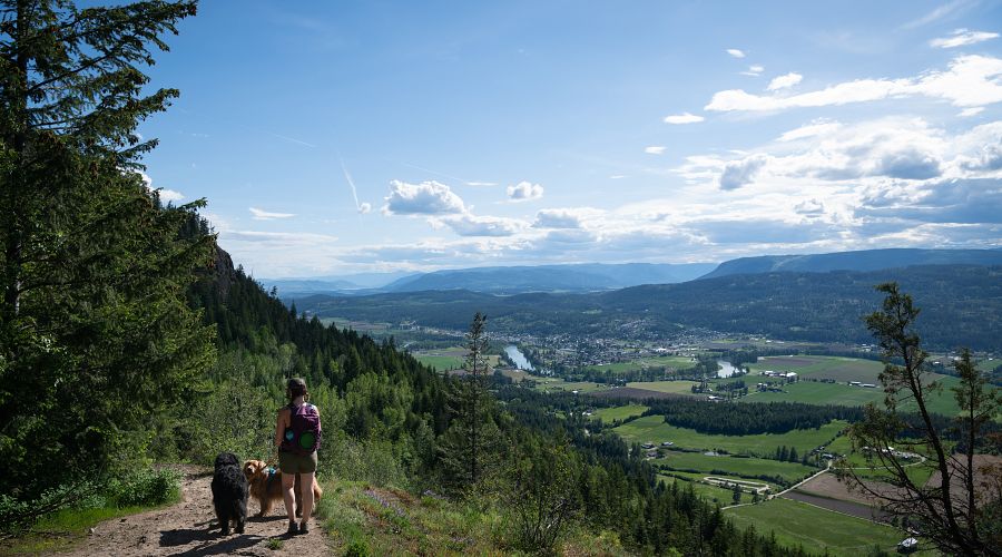
Weytkp, Welcome.
Visit, Stay, & Explore
We invite you to respectfully explore our beautiful region.
The Shuswap Trails website is dedicated to helping people from around the world find their trail in the Shuswap. Whether it be by foot, by mountain bike, by horseback, or by canoe, this site will guide you towards amazing trail experiences in the Shuswap.
Shuswap North Okanagan Rail Trail Fundraising Campaign has launched. Find out more and make a donation here.
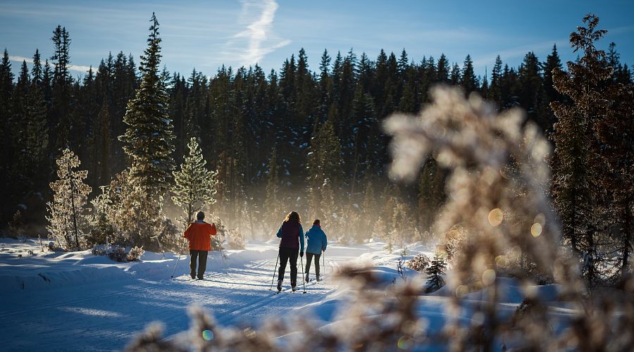
Photo Credit:Viktoria Haack, Shuswap Tourism
Tips for Safety
- Bring applicable maps, along with a compass or GPS device.
- Wear appropriate footwear and clothing, and bring sufficient food and water.
- Carry identification (including name, phone number and pertinent medical information), and record your bicycle serial number
- Bring a portable phone or other communication device, along with pertinent phone numbers (ie. emergency numbers)
- Travel with a partner when possible
- Stay alert, be observant about your surroundings, avoid areas where visibility is poor, and don't wear headsets.
- Avoid unfamiliar areas when on the trails alone and follow your intuition about unfamiliar people.
- Trails are shared by a variety of users at the same time. Please be courteous to all users, and remember that pedestrians have the right-of-way. Stay to the right of the trails.
- Cyclists should pull off the trail when stopping, give a voice, bell, or horn warning when passing others, wear helmets and ride at reasonable speeds.
- The Shuswap Trail Alliance assumes no responsibility for the safety of any persons, animals or equipment when using the trails listed in this website. Use at your own risk.
- Wear reflective material and carry a whistle or a noisemaker.
- Where pets are allowed, keep them on a leash and clean up after them.
Photo Credit: Victoria Haack
Caution
- Always go prepared and use your common sense
- Always tell someone when and where you are going
- Many trails are not maintained - use at your own risk
- Many trails are accessible only by active logging roads requiring 2-way radio communication, or deactivated logging roads requiring four-wheel drive or high-clearance vehicles.
- Watch for wildlife and avoid areas showing recent signs of black bears, grizzly bears and cougars.
- Before heading out, check with local contacts to make sure the trails and roads are safe.
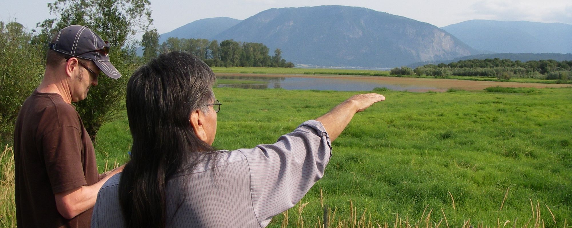
Exploring Respectfully
Shuswap Trails
Fostering a healthy, engaged community in the Shuswap Region – economic/environmental/social – through well designed, maintained, and promoted trails connecting people, culture, and landscape

-1.jpg)