Eagle River Nature Park
Sicamous & East Shuswap
Trail Information
| Distance | 6 km (various) km |
|---|---|
| Duration | Various |
| Difficulty |  Easy Easy |
| Geo Referenced PDF | View Map |
| Access Map | Google Maps |
| Latitude / Longitude | 50.89237182, -118.83357322 |
| Activities |       |
About
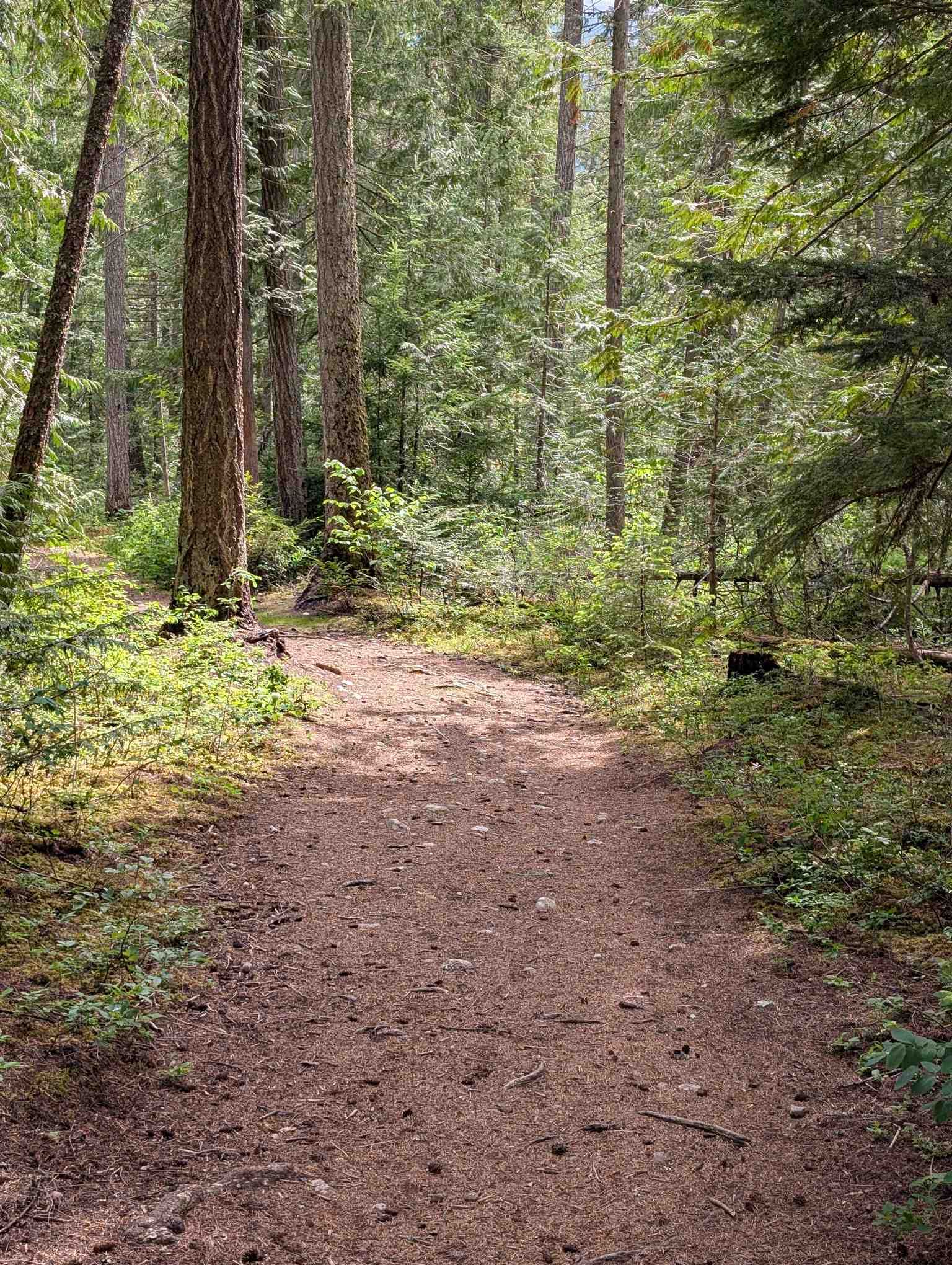
A series of loop trails in Yard Creek Provincial Park explore the old growth cedar and hemlock forest along Eagle River. Includes boardwalk, interpretive signs, and picnic area. Look for salmon running up Yard Creek at the east end of the trails in September. Link these trails with a visit to the trails on the south side of the highway. For more information, visit bcparks.ca.
Access
Approx. 12 km east of Sicamous on Hwy 1 at the west end of the 4-lane section near Malakwa, turn left (north) off the highway at the Luoma Rd exit, then turn right (east) on Luoma Rd. Continue parallel to the highway for approx. 750 m and watch for the painted “Eagle River Nature Trails” billboard sign where you turn left into an old gravel pit. The parking area is near the Provincial Park trail map and Landmarks post.
Photos Submit photos
Nearby Trails
 More Difficult
Exploring Respectfully
Shuswap Trails
Fostering a healthy, engaged community in the Shuswap Region – economic/environmental/social – through well designed, maintained, and promoted trails connecting people, culture, and landscape