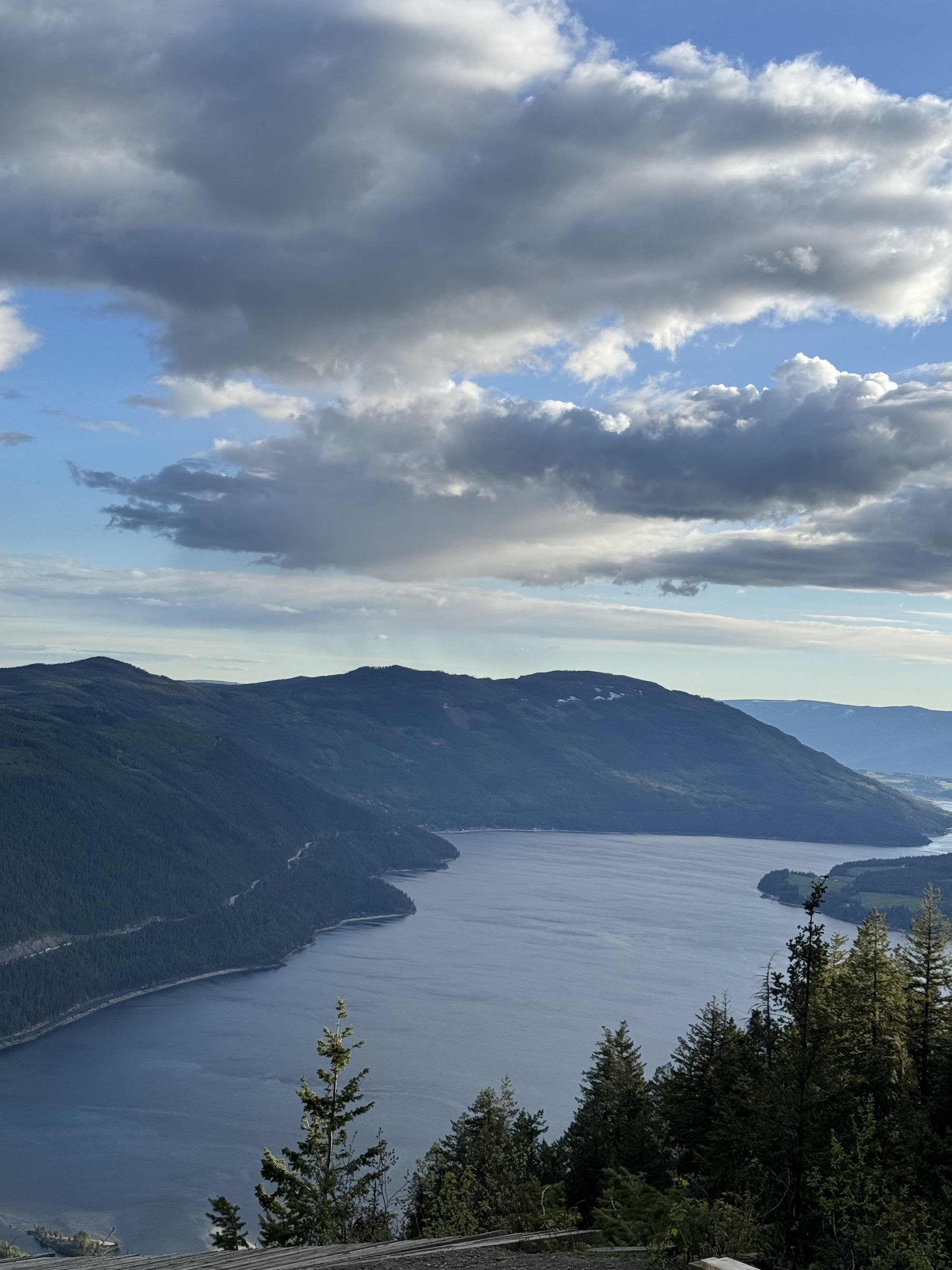
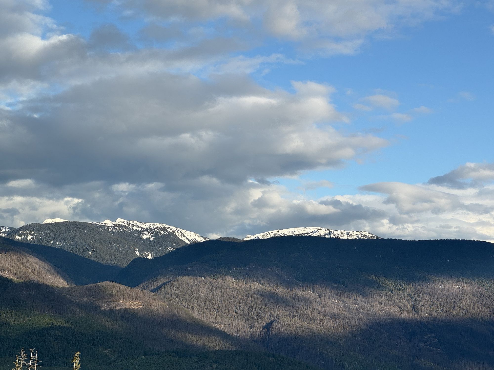
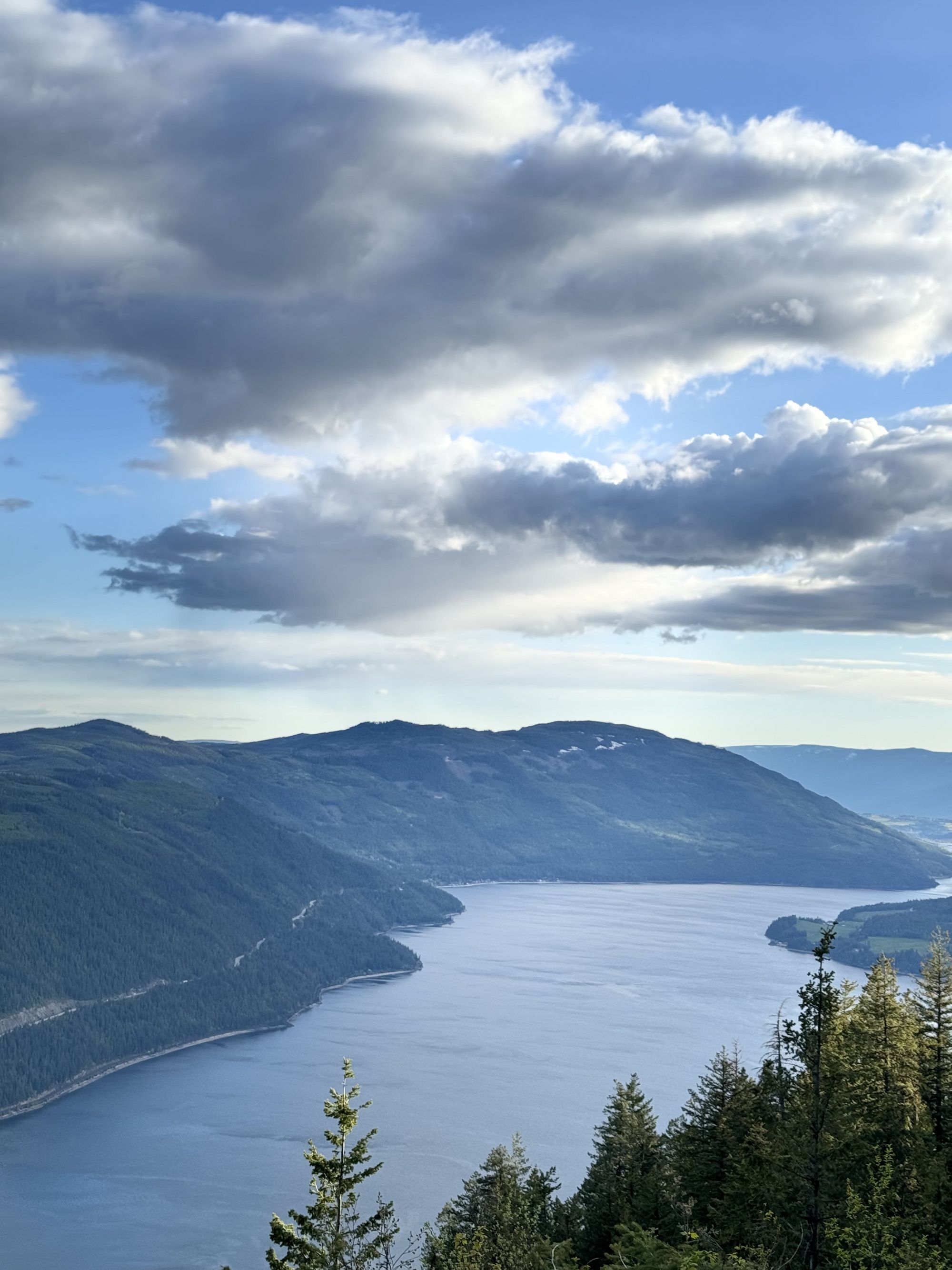
Sicamous Lookout
Sicamous & East Shuswap
Trail Information
| Distance | 1 km km |
|---|---|
| Duration | 0.5+ Hour |
| Difficulty |  Easy Easy |
| Access Map | Google Maps |
| Latitude / Longitude | 50.86051064, -118.99594983 |
| Activities |      |
The hang-gliding ramp is old. Watch for rotting wood and stay away from the edge. Watch for active logging traffic on the roads.
About
Not really a trail, but an old hang-gliding ramp high above steep cliffs with outstanding views of the Sicamous Channel, Shuswap Lake, and Mara Lake – a photographer’s paradise. Walk or bike to the lookout 1 km from the FSR spur road or 8 km from Solsqua-Sicamous Rd. In the winter, the road is often groomed for snowmobile use; please do not drive on groomed roads and instead bring snowshoes to walk from Solsqua-Sicamous Rd.
Access
In Sicamous on Hwy 1, just east of the Hwy 97A junction, turn north onto Sicamous-Solsqua Rd. Cross the bridge and the railroad tracks and stay right at the Old Town Rd intersection to continue on Sicamous-Solsqua Rd. Take the next left turn up the #1800 Queest Mountain FSR, continue for 6.2 km, then turn left onto #1800-300 Rd for another 1.6 km to the lookout. Hike or bike from the bottom, the spur road, or drive all the way.
Photos Submit photos


Nearby Trails
Riverfront (Alver Holm) Nature Park
Distance: 2050
Duration: 0.5+ Hours (various)
Difficulty: Easy
Hyde Mountain Lookout
Distance: 7200
Duration: 2.5 Hours (one-way)
Difficulty:  More Difficult
Exploring Respectfully
Shuswap Trails
Fostering a healthy, engaged community in the Shuswap Region – economic/environmental/social – through well designed, maintained, and promoted trails connecting people, culture, and landscape