Old Sicamous Hwy
Sicamous & East Shuswap
Trail Information
| Distance | 6.3 km (one way) km |
|---|---|
| Duration | 1.5 Hours (one way) |
| Difficulty |  Easy Easy |
| Geo Referenced PDF | View Map |
| Access Map | Google Maps |
| Latitude / Longitude | 50.8326005, -119.00541531 |
| Activities |    |
Access may be affected by the R.W. Bruhn Bridge construction project (fall 2024-late 2027). Visit drivebc.ca for updates on road closures.
Use extreme care when entering or exiting Hwy 1.
About
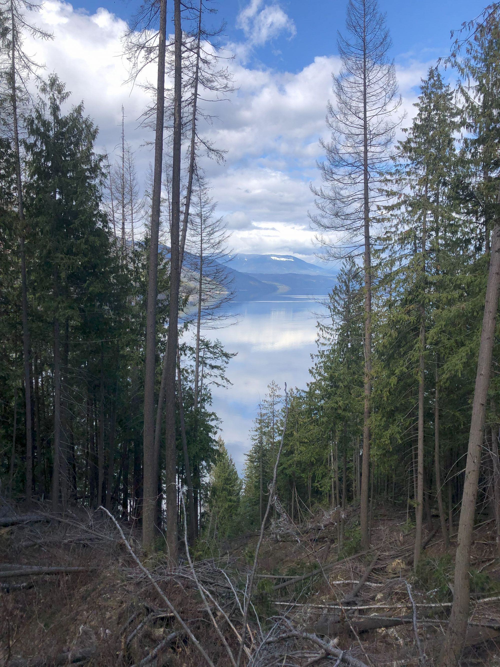
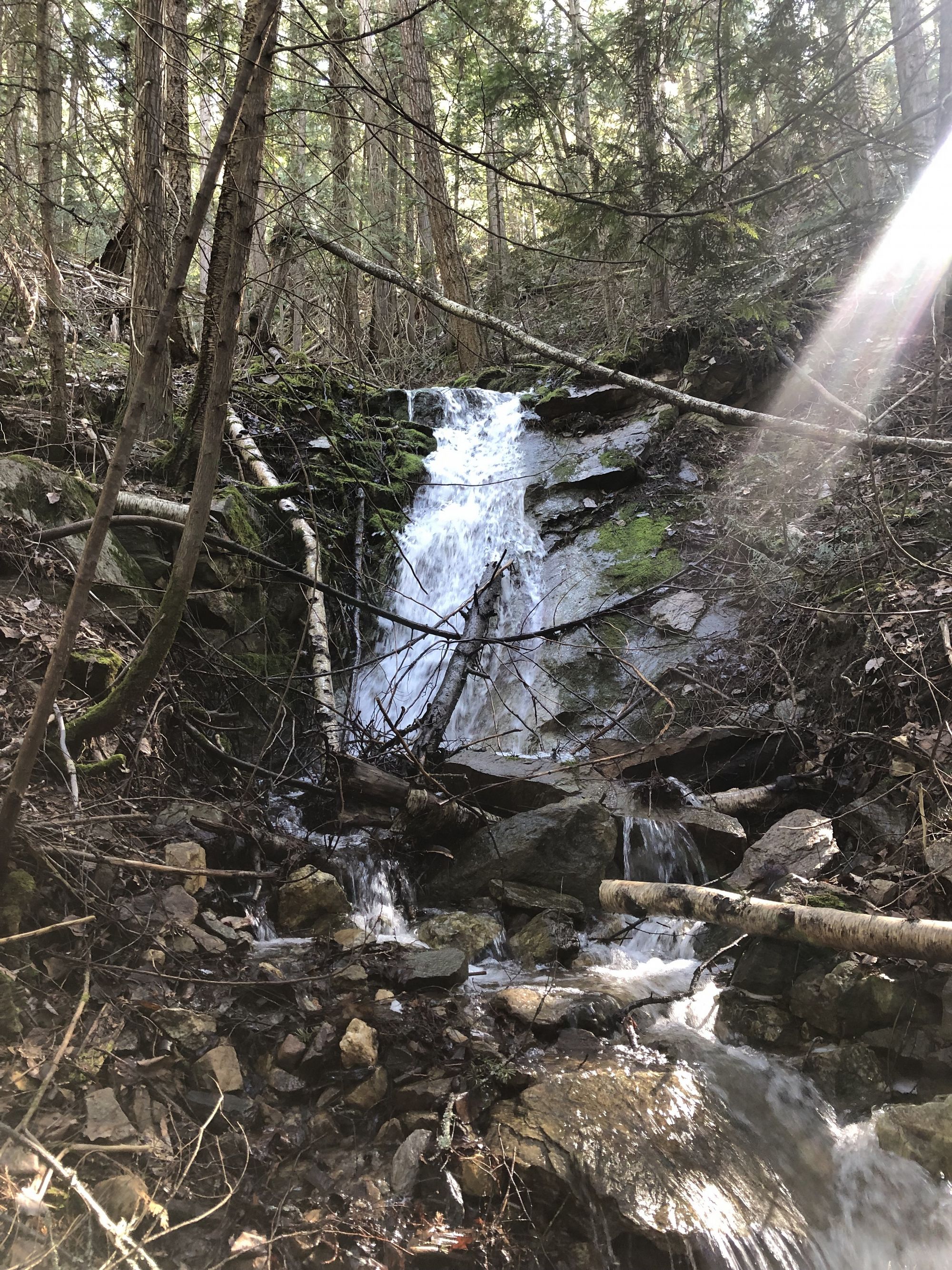
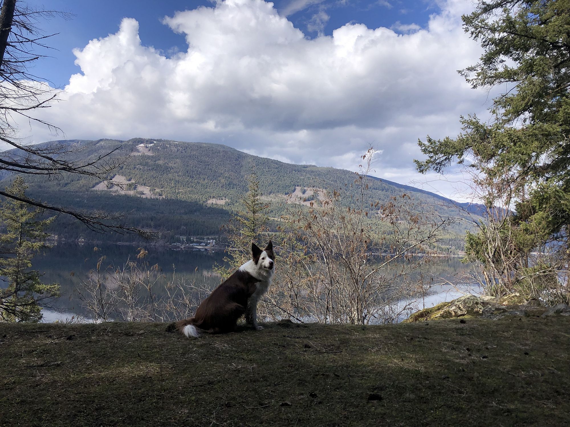
An easy, level trail with cool shade and excellent views of Shuswap Lake, wildflowers, and birds. This trail follows the old highway bed. It starts paved, becomes a gravel roadbed, then becomes a singletrack trail for the final 2 km. The trail ends where it meets with Hwy 1. Return the way you came.
Access
Parking is limited at the trailhead. Alternate parking is available at Sicamous public beach 1.4 km from the trailhead. From Sicamous beach, travel west on Hwy 1 across the Narrows Bridge and turn right (north) onto the Old Sicamous Hwy Rd. At the intersection with Bruhn Rd stay left (west). This is the trailhead. At approx. 3.6 km find a trail sign where the old roadbed turns into a trail. Hwy 1 is dangerous, take care when crossing the bridge and travelling along the highway.
Photos Submit photos
Nearby Trails
Riverfront (Alver Holm) Nature Park
Distance: 2050
Duration: 0.5+ Hours (various)
Difficulty: Easy
Hyde Mountain Lookout
Distance: 7200
Duration: 2.5 Hours (one-way)
Difficulty:  More Difficult
Exploring Respectfully
Shuswap Trails
Fostering a healthy, engaged community in the Shuswap Region – economic/environmental/social – through well designed, maintained, and promoted trails connecting people, culture, and landscape