Larch Hills Nordic
Salmon Arm & Area
Trail Information
| Distance | 125 km (various) km |
|---|---|
| Duration | 0.5 - 3+ Hours (various) |
| Difficulty |  Easy to More Difficult Easy to More Difficult |
| Access Map | Google Maps |
| Latitude / Longitude | 50.70838863, -119.13583369 |
| Activities |       |
Watch for logging vehicles during non-winter months. Many of the Larch Hills Trails are multi-use. Watch for ATVs. Avoid soft wet areas until the ground dries.
About
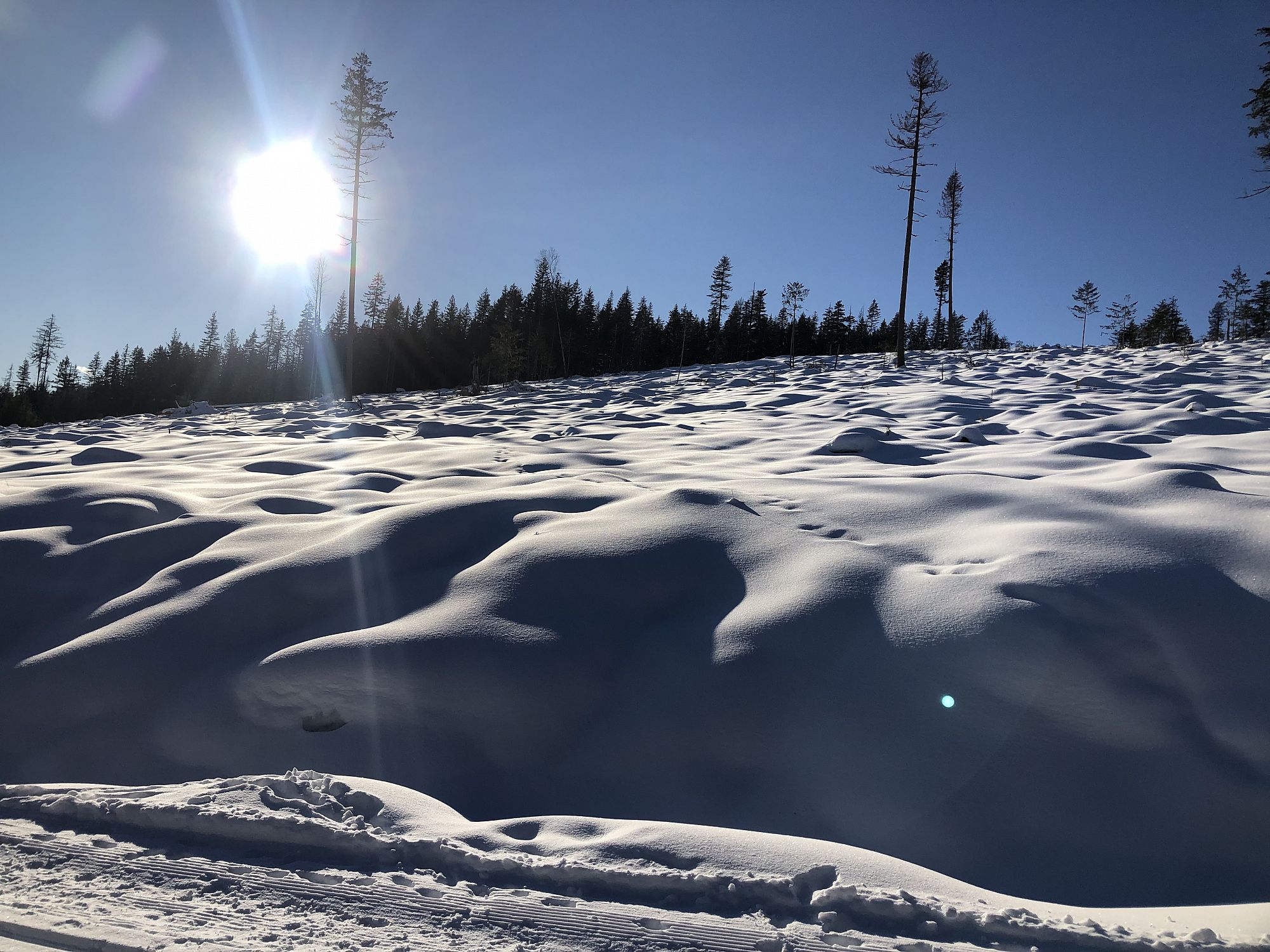
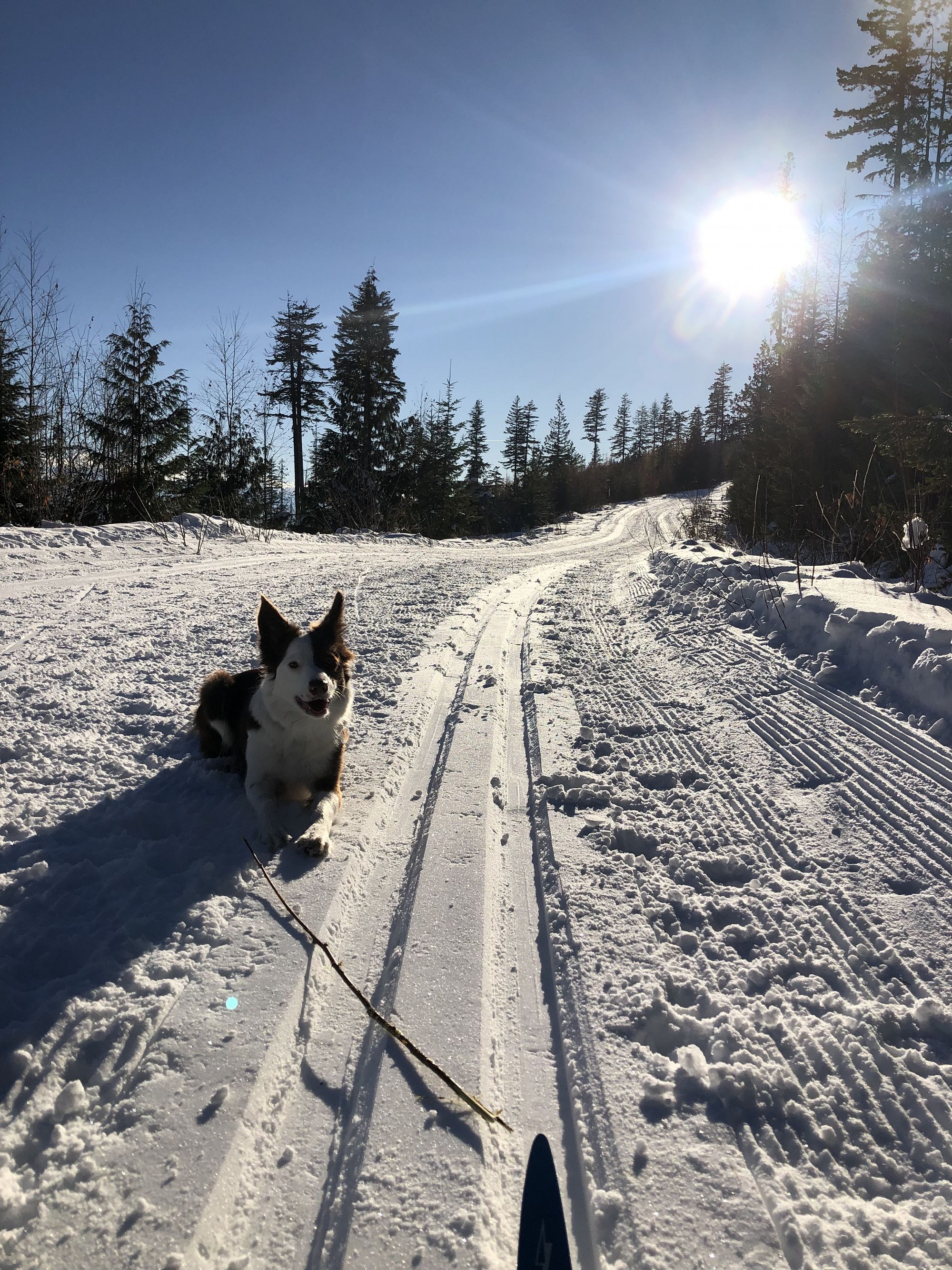
The region’s premier nordic ski area provides 170 km of ski trails (57 km trackset and 6.5 km lit for night skiing), over 17 km of snowshoe trails, and is a great destination for hiking, mountain bikes, and equestrian riding spring through fall.
Multiple trail options include visits to old growth forest, an interpretative nature loop surrounding one of the area's many wetland fens, spectacular views over the surrounding valleys on the higher trails, and visits to Tom’s Shelter, South Hub, and Cec’s Cabin just south of Larch Lake. Several long distance cross country options for mountain bikers and backcountry skiers can link routes from the Nordic center. These include connections with Salmon Arm on Metford FSR, Rubberhead trail system, and 110 FSR or the Larch Hills Traverse to Sicamous.
In the winter, a network of dedicated snowshoe trails containing several loop options from the main chalet parking area explore the intimacy of the forests and glens in winter. As well, a longer trek up to Cec's Cabin provides the more intrepid backcountry snowshoer with a worthy out-and-back day trip.
During the summer a beautiful 4 km forest hiking loop through parts of the Upper Violet Provincial Park links the Moose Trail, Lost in the Woods, and Interpretive Loop snowshoe trails starting at the main chalet. Non-winter trail stiles have been added to protect the Upper Violet Provincial Park protected area.
Additional Information: The trail system is managed by the Larch Hills Nordic Society www.skilarchhills.ca in collaboration with Shuswap Outdoors!, summer user groups, BC Parks, and Rec Sites and Trails BC. To join the volunteer team effort contact trailreport@shuswaptrails.com
Trail Maps: Geo-Referenced PDFs (open using an app like Avenza for navigation even without cell coverage)
These maps are also on the LHNS Maps page plus additional maps like canine friendly trails and summer use trails.
Trail Stewardship Links: (a little more detail for those engaged or interested in caring for the Larch Hills Trail System)
View the Larch Hills Non-Winter Trail Use Report here.
View the Larch Hills Non-Winter Trail Management Working Priorities here.
View the Larch Hills Non-Winter Trail Use Planning Map here.
Watch for new non-winter trail stiles going up to protect the Upper Violet Provincial Park protected area. To join the volunteer effort contact trailreport@shuswaptrails.com
Access
East of Salmon Arm on Hwy 1 turn south on Hwy 97B and drive 8.7 km, and then turn left (east) onto Grandview Bench Rd (watch for the Larch Hills Nordic sign). After approx. 5.4 km turn left (north) onto Edgar Rd. After another 3 km, keep left at the junction and travel another 3 km to the Larch Hills ski area parking lot.
Alternate access: Turn north onto Grandview Bench Rd off Hwy 97A west of Grindrod. After approx. 3.2 km turn north onto Edgar Rd.
Photos Submit photos
Nearby Trails
Larch Hills Traverse
Distance: 4000
Duration: 4 - 10 Hours (one-way) bike; 11 - 14 Hours (one-way) back-country ski; shorter loop options possible
Difficulty:  More Difficult
South Canoe Trail System
Distance: 47764
Duration: 0.5-2.5 Hours (round trip)
Difficulty: Easy to Most Difficult
Larch Hills Snowshoe
Distance: 17302
Duration: 0.5 - 3+ Hours (various)
Difficulty: Easy to Most Difficult
Exploring Respectfully
Shuswap Trails
Fostering a healthy, engaged community in the Shuswap Region – economic/environmental/social – through well designed, maintained, and promoted trails connecting people, culture, and landscape