
Joss Mountain Pass
Sicamous & East Shuswap
Trail Information
| Distance | 7.5 km (one-way) |
|---|---|
| Duration | 7+ Hours (round trip) |
| Difficulty |  Most Difficult Most Difficult |
| Geo Referenced PDF | View Map |
| Access Map | Google Maps |
| Latitude / Longitude | 50.83915384, -118.41364851 |
| Activities |     |
Access is via steep forestry roads, 4wd recommended. This is a serious alpine backcountry hike requiring experience in wilderness preparation, travel, and navigation. Grizzly country.
About
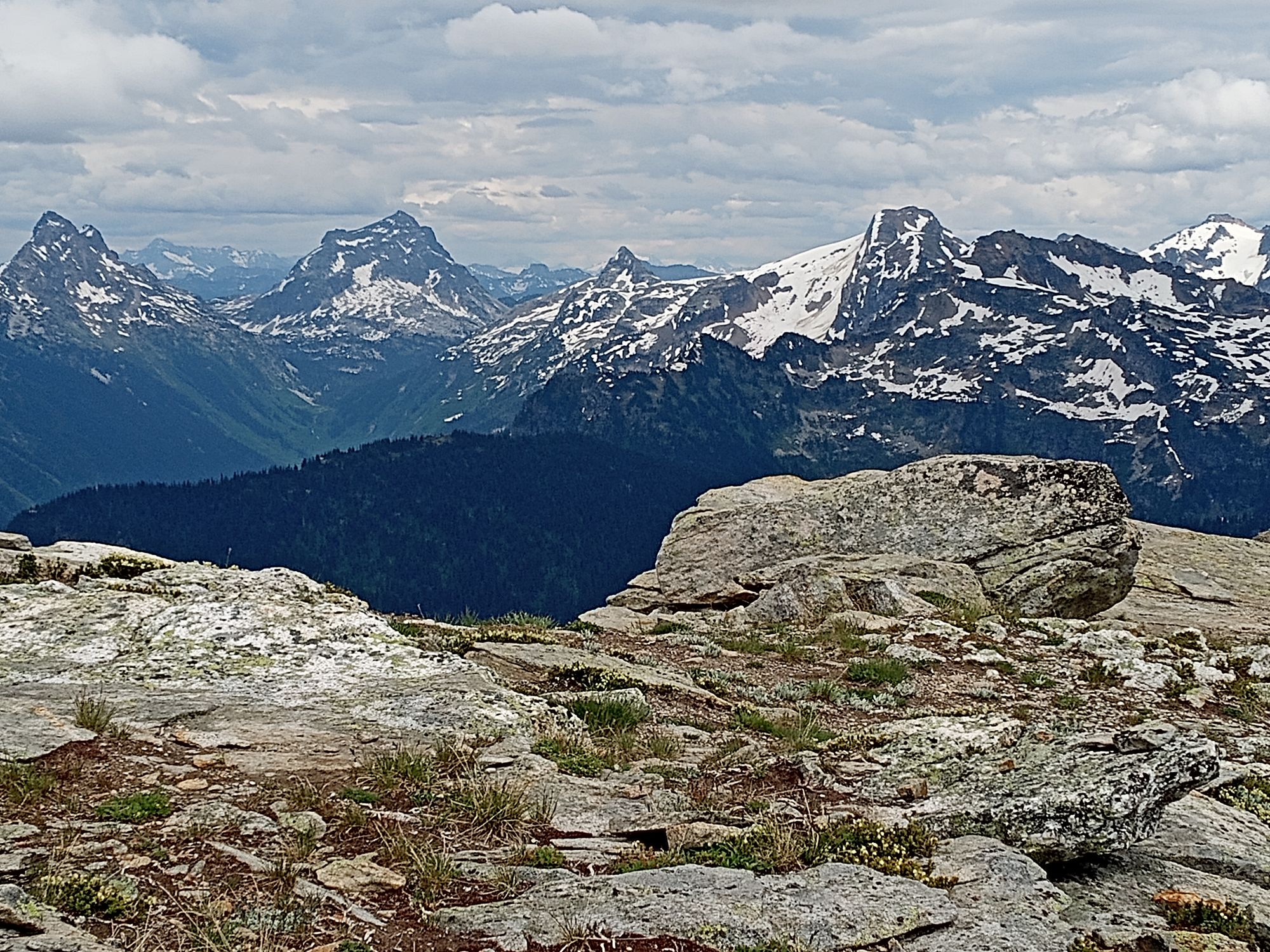
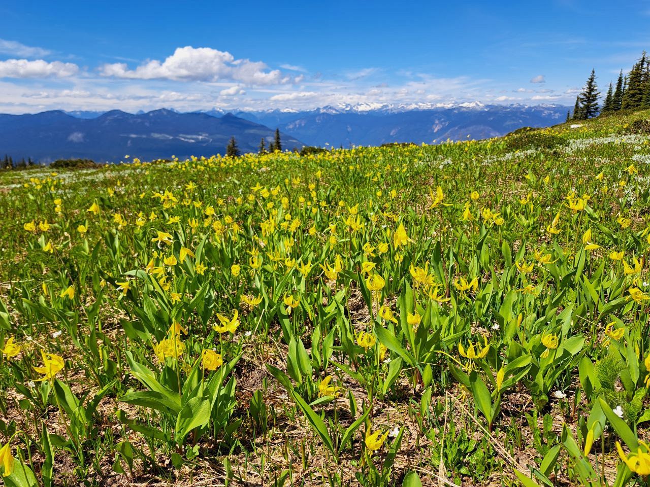
A full day hike with abundant options for exploring in the Alpine. For overnight options, the trail links with the Greenbush Lake trail to the east and Tsuius Mountain and the Sawtooth Range to the south.
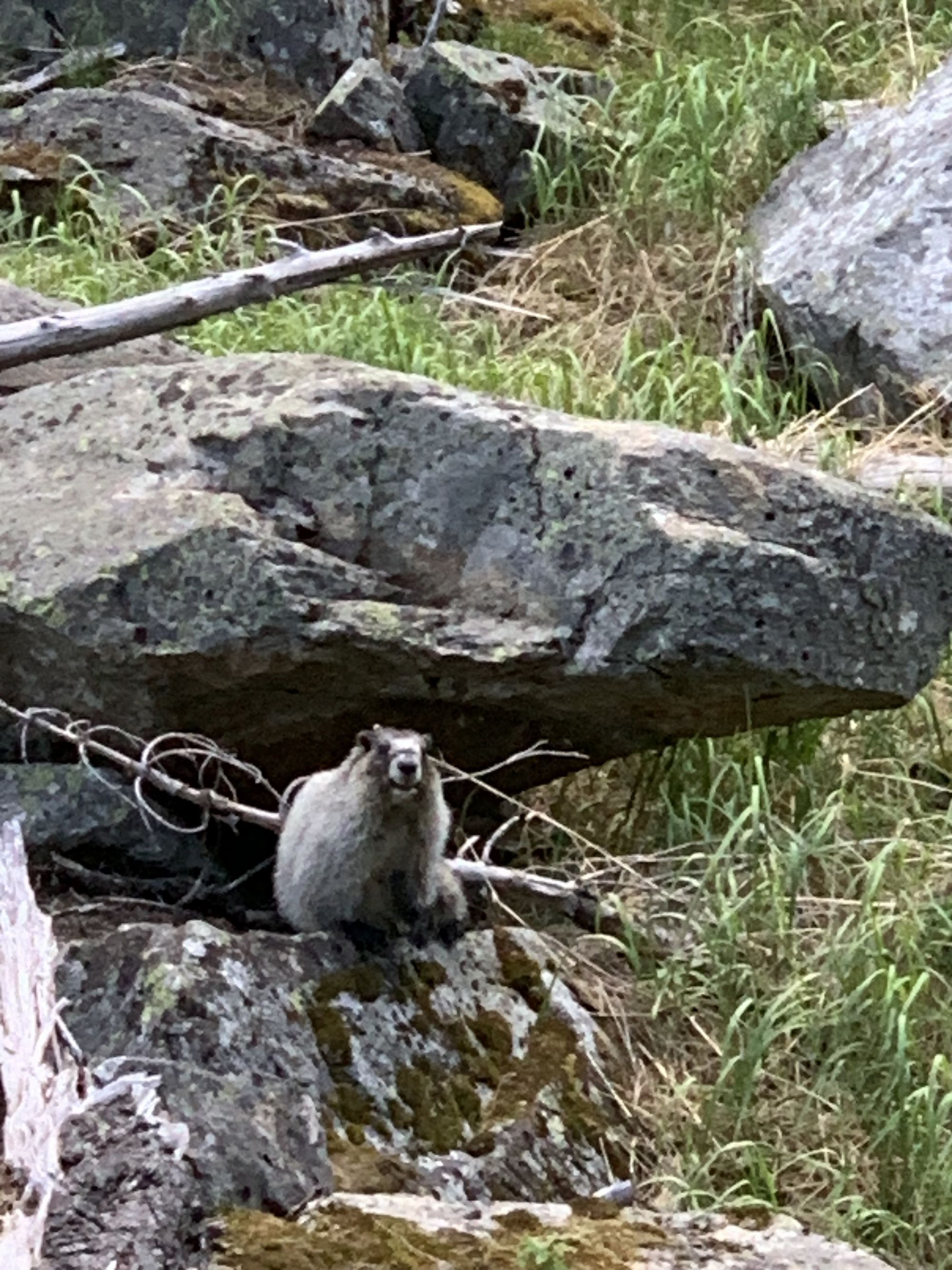
The area is one of the largest protected grizzly habitats in the southern interior, and an important area within the Splatsin te Secwépemc’s responsibility as Yucwmenlúcwu (caretakers). Recreational access is being monitored. Please obey all signs and seasonal closures and check for updates.
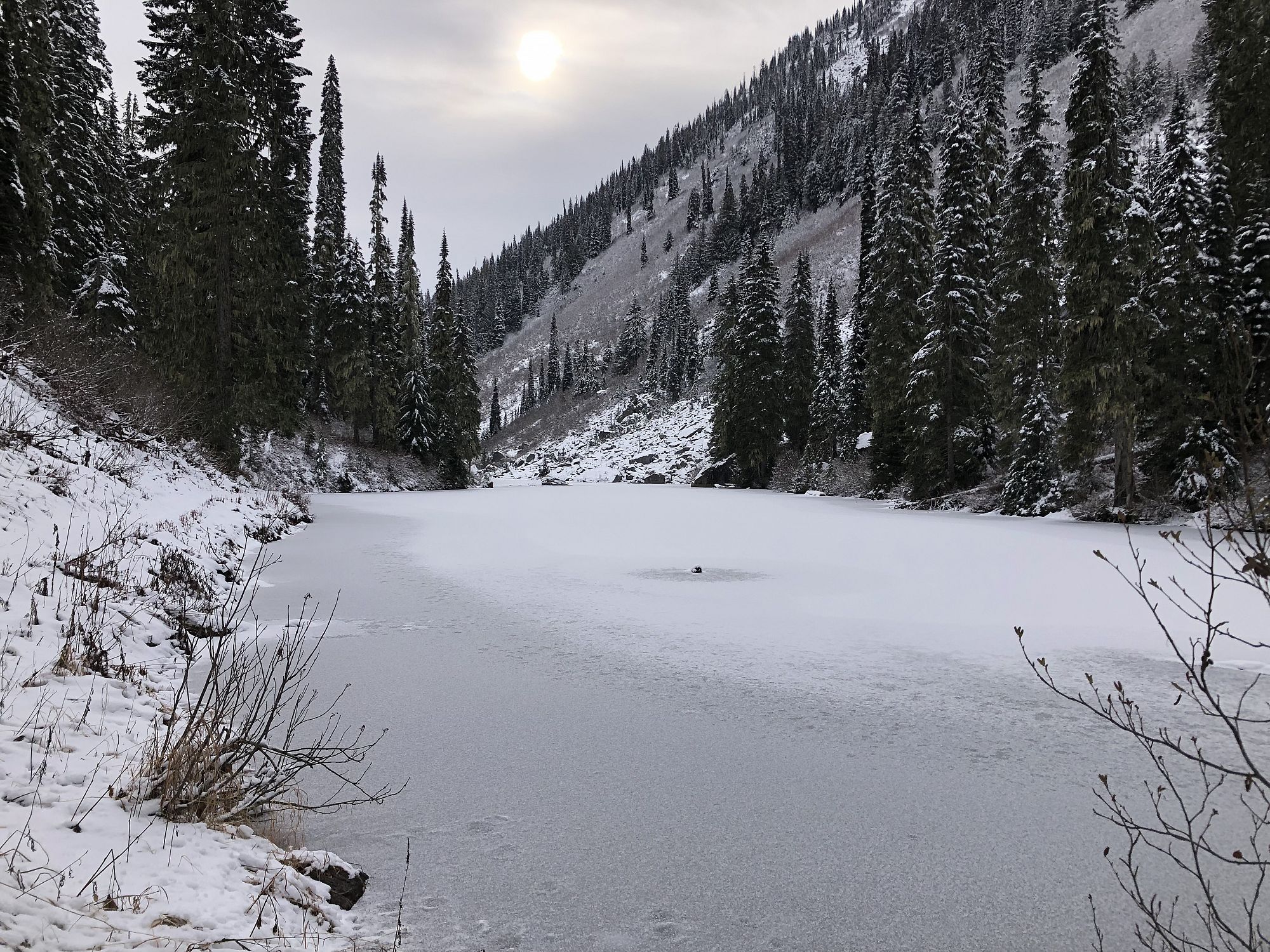
For the most part the trail is clear and easy to see, but lingering snow and vegetation may obscure the trail at certain times of the year, best in mid-summer.
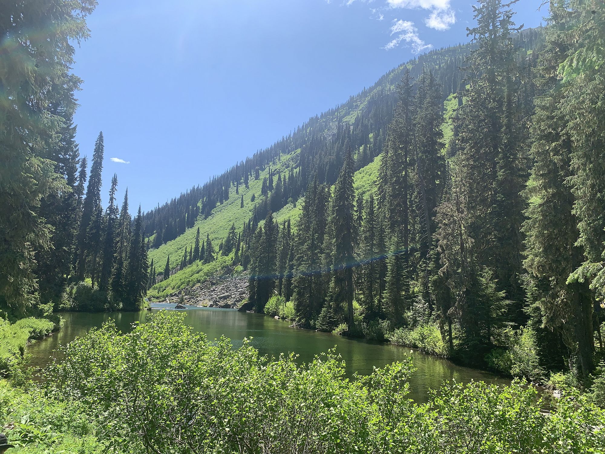
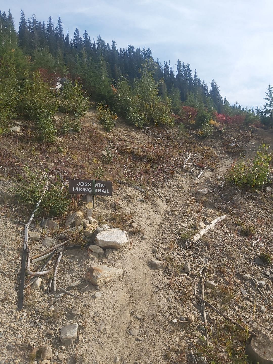
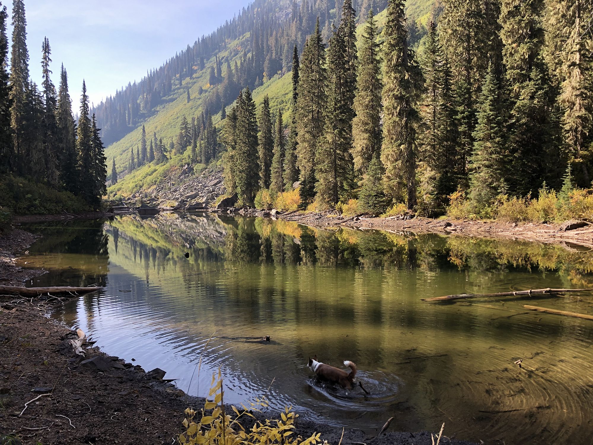
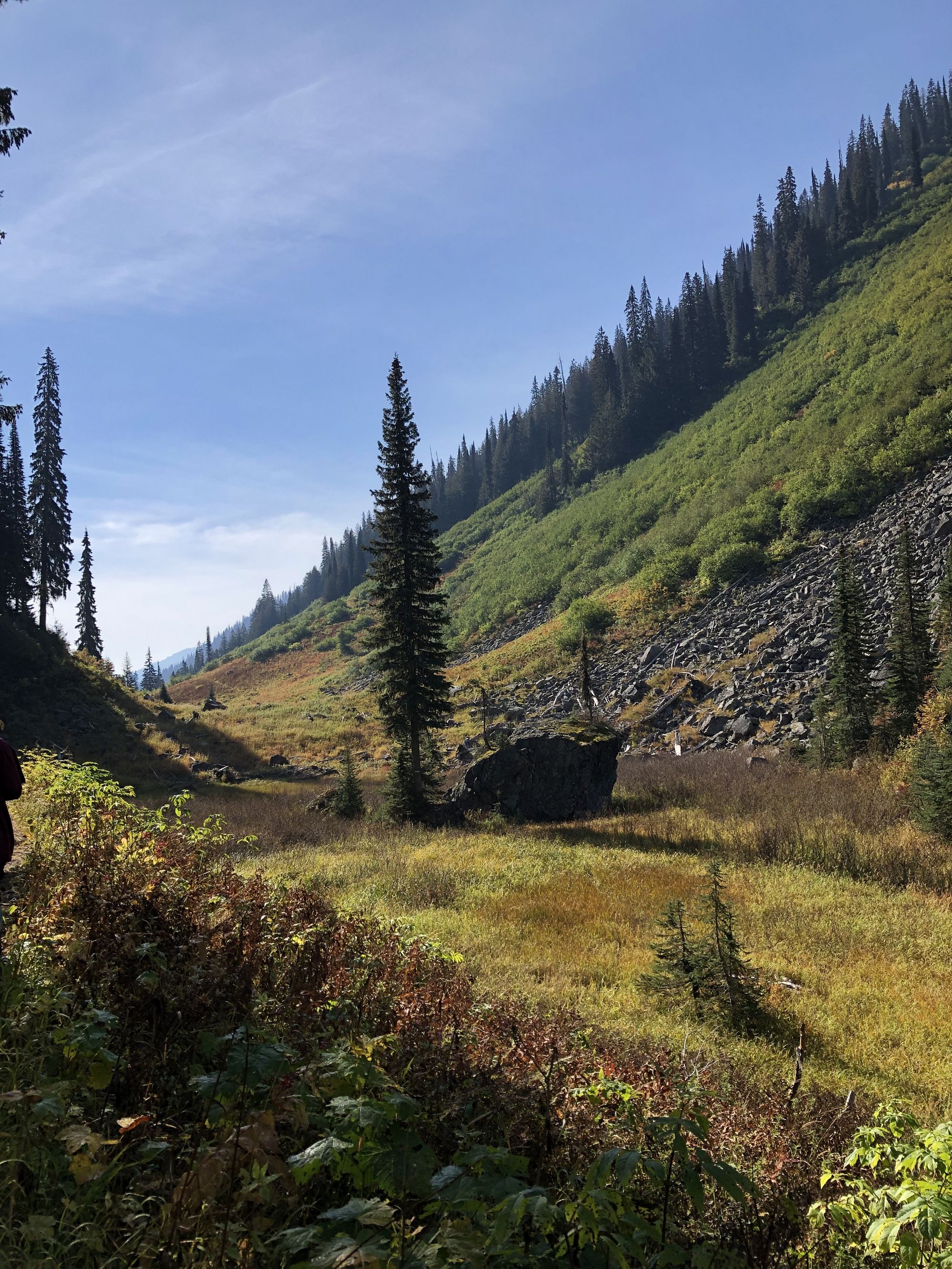
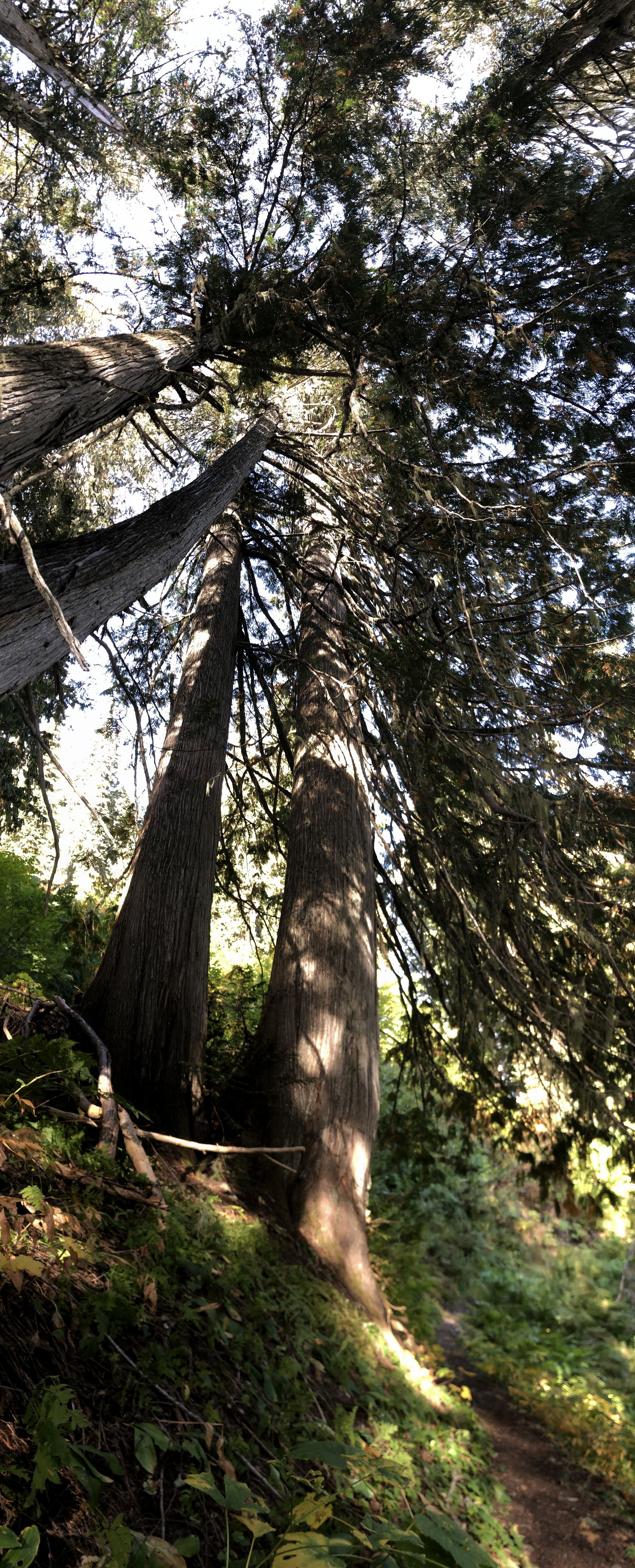
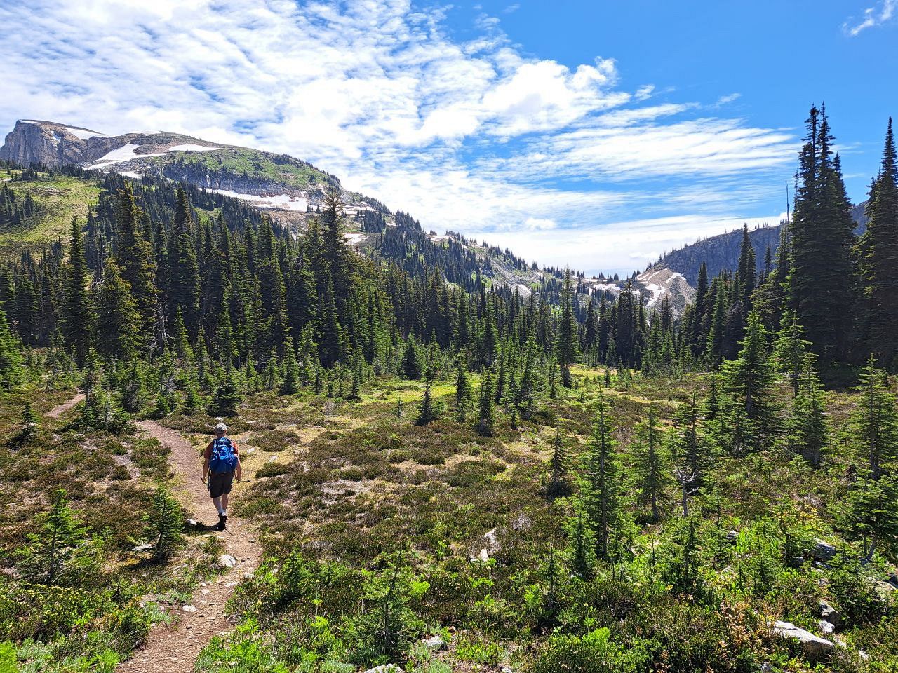
From East Trailhead: The trail follows the creek, then crosses, and continues along a tight valley bottom with willow and avalanche slopes on both sides. Plus, lots of bear signs, so make noise! Hike past little lakes, still following the tight valley bottom. The trail will turn right, crossing the valley bottom to climb and traverse the west slope of the valley. The faint trail that continues straight at connects to Greenbush Lake and the headwaters of the Shuswap River.
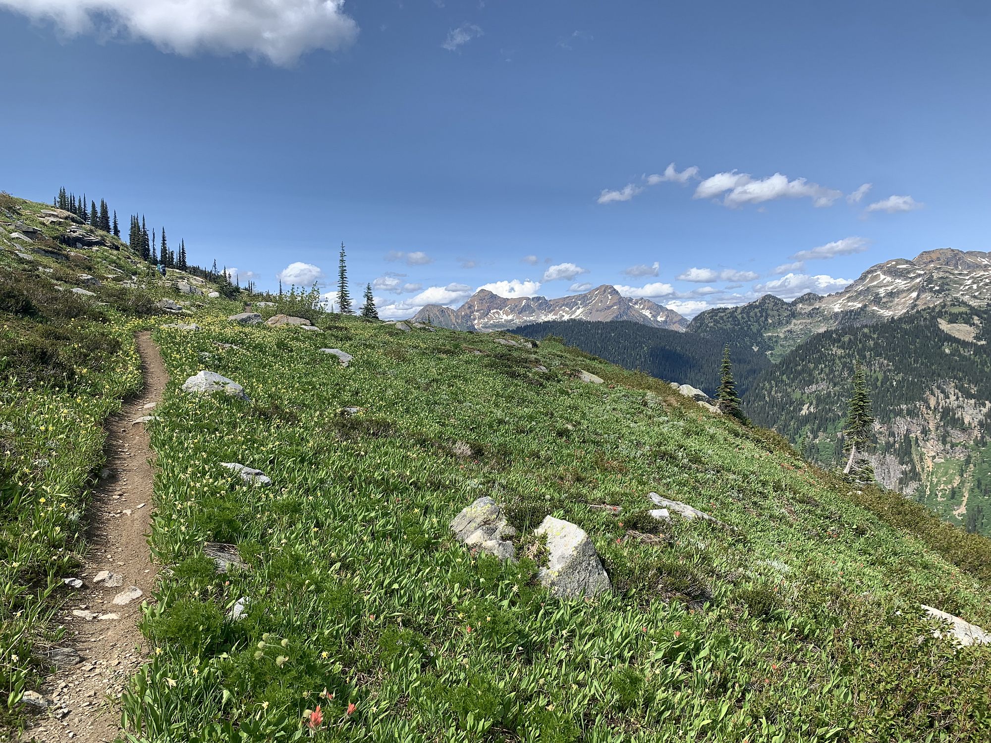
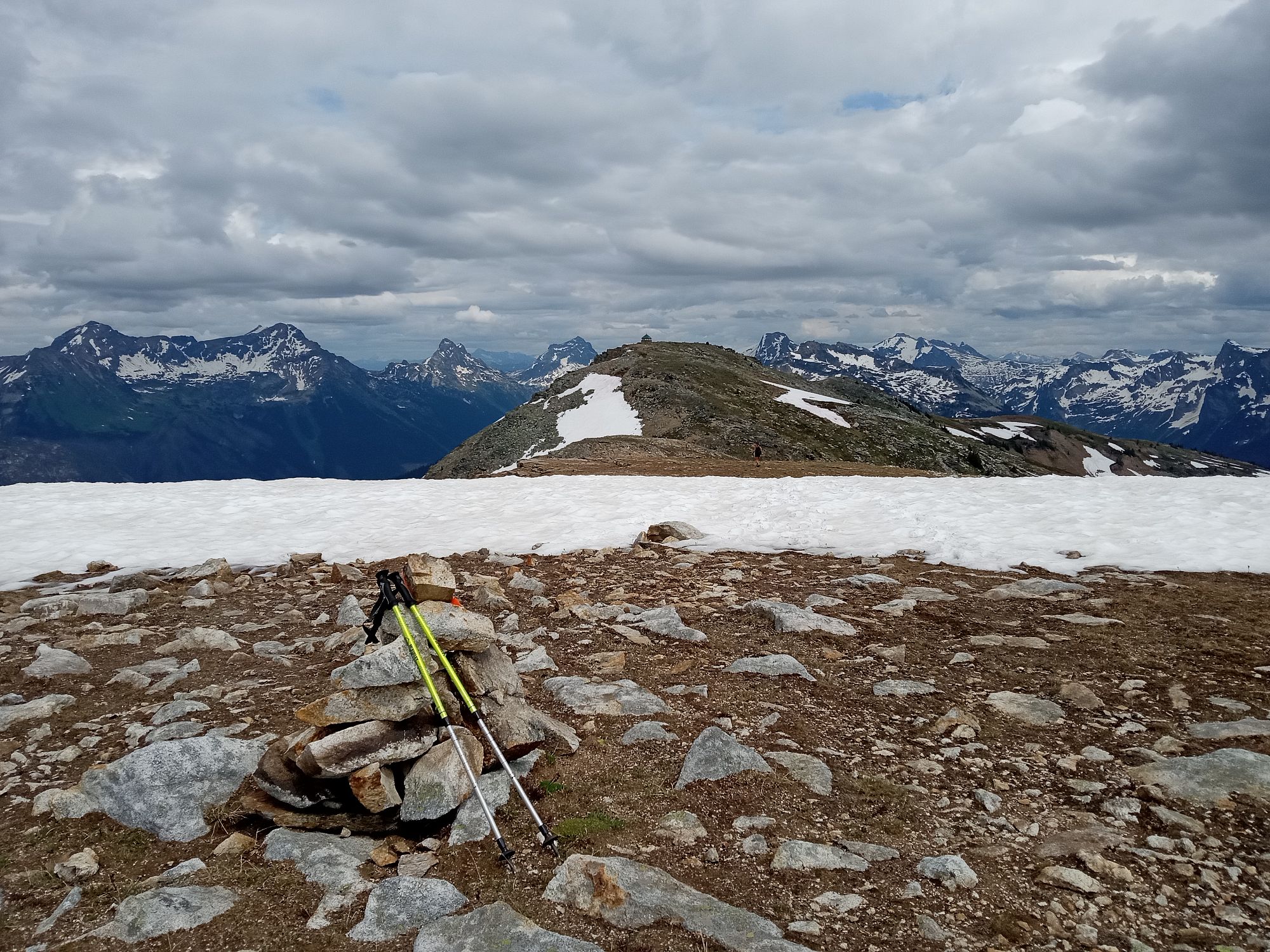
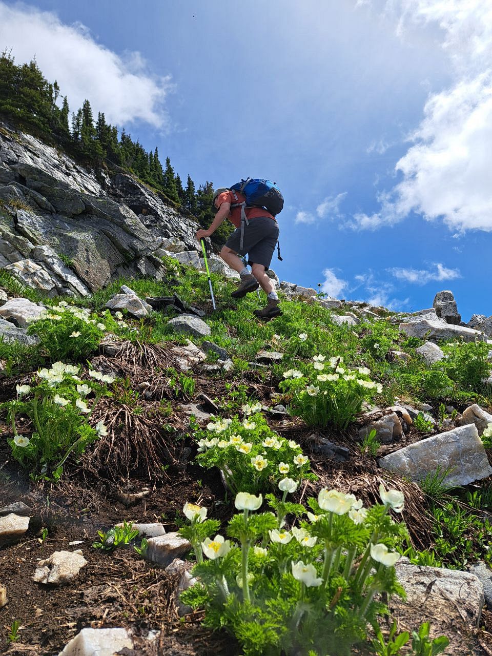
The trail finally levels on a bench amongst open forest. Watch for another fork in the trail and take the right trail, climbing up and breaking out of the forest into the sub-alpine. At the first open area below a cliff face, the trail climbs up to the right (north). Watch for intermittent signs of the trail and rock cairns climbing steadily up into the meadows and talus slopes beyond.
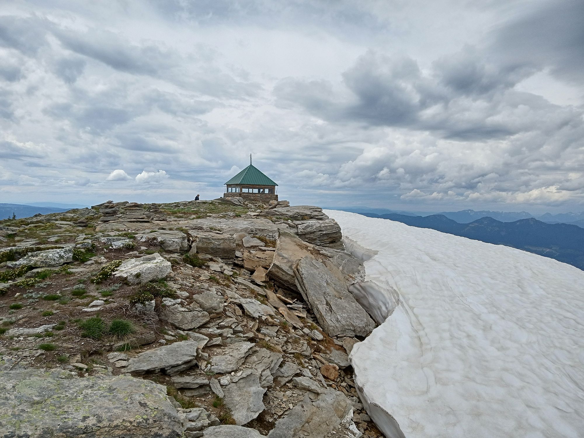
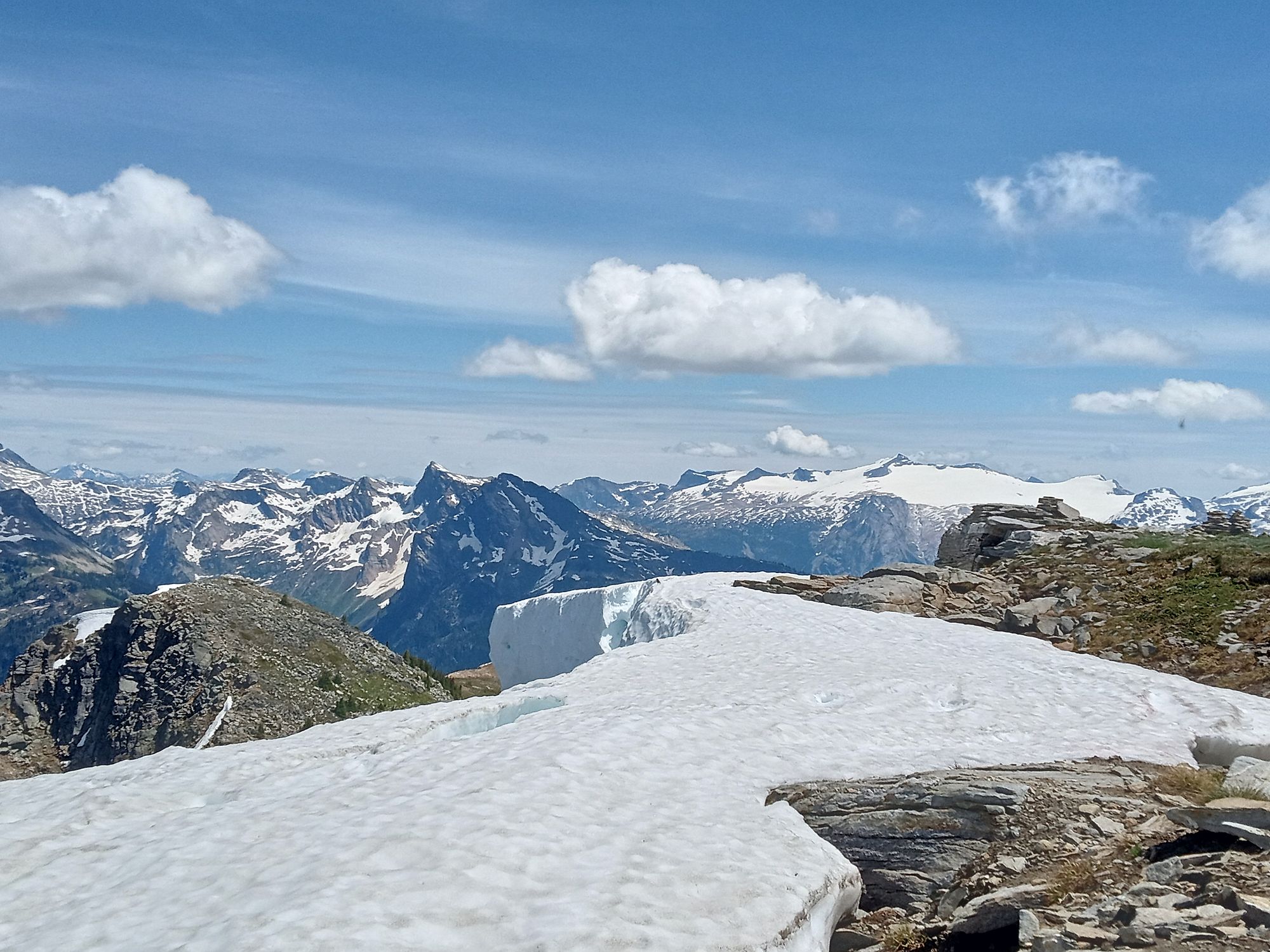
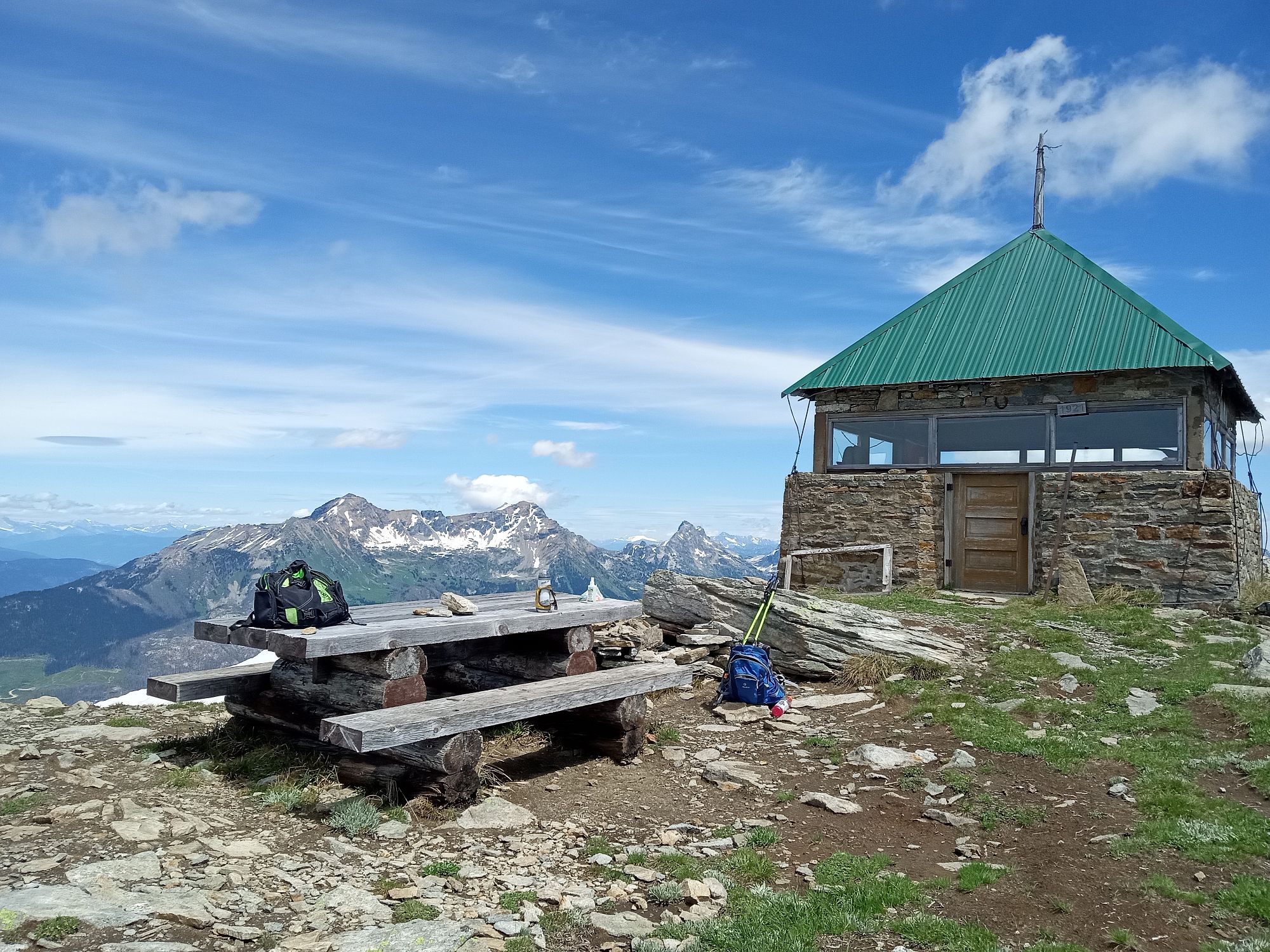
On a clear day, the summit is obvious to the north as the trail weaves its way upward. Eventually, the rebuilt Dominion Forestry Lookout becomes evident at the summit, along with lengths of old wire along the way that used to link the lookout by telegraph to a lower relay cabin. Return the way you came or create your own extended alpine circuit exploring the ridgelines to the west. The Tsuius Mountain route heads south from the open alpine near the larger tarns. Route finding and experience with alpine mountain travel is necessary.
Access
Approx. 47 km east of Sicamous, just west of the rest stop on the south bend of Three Valley Lake, turn south off Hwy 1 onto the Wap (Three Valley-Mabel) FSR.
East trailhead: Drive 4.7 km down Wap FSR (just past Frog Falls Rec Site) and turn left (east) onto Branch 4. Take Branch 4 for 12 km, where the trailhead is marked with a Landmark post on the right. There is a wide area to park on the right, just before the trailhead. To stay on Branch 4 for 12 km, at 5.2 km (just after crossing a bridge on a sharp left corner) stay right. At the bridge at 8 km stay right again. Stay left at intersections at 10 km and again at 10.2 km. Cross the bridge at 10.2 km and park at 12 km. The road is deactivated after the bridge at 10.2 km; high clearance vehicle recommended beyond this point.
West trailhead: Drive 6 km down Wap FSR and turn left (east) onto Branch 5. Take Branch 5 (stay right at 9.3 km) for 10.4 km, where the trailhead is marked with a landmark post on the left. You can park on the wide shoulder of the road at the trailhead. This road has steep, loose sections; 4WD vehicle recommended.
Photos Submit photos

Nearby Trails
 Easy
EasyEagle Pass Mountain
Distance: 3.9
Duration: 2.5 Hours (one way) Eagle Pass Lookout
Difficulty: Most Difficult
 More Difficult
Exploring Respectfully
Shuswap Trails
Fostering a healthy, engaged community in the Shuswap Region – economic/environmental/social – through well designed, maintained, and promoted trails connecting people, culture, and landscape