McArthur Heights
South Shuswap
Trail Information
| Distance | 1.7 km (one-way) km |
|---|---|
| Duration | 1 Hour (one way) from McArthur Heights Trailhead, 2.5 Hours (one way) from Balmoral Trailhead |
| Difficulty |  Most Difficult Most Difficult |
| Geo Referenced PDF | View Map |
| Access Map | Google Maps |
| Latitude / Longitude | 50.89690584, -119.36565728 |
| Activities |    |
Steep edges; stay clear and keep children well back. This is a narrow and exposed trail with sections of loose dirt and rock.
About
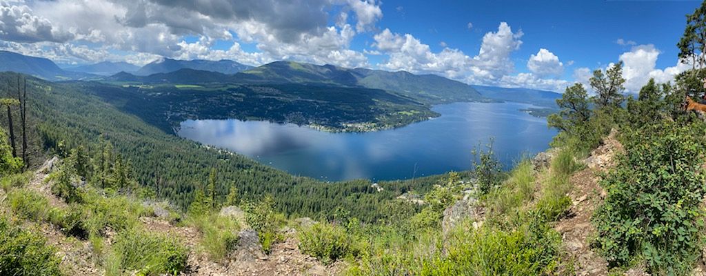
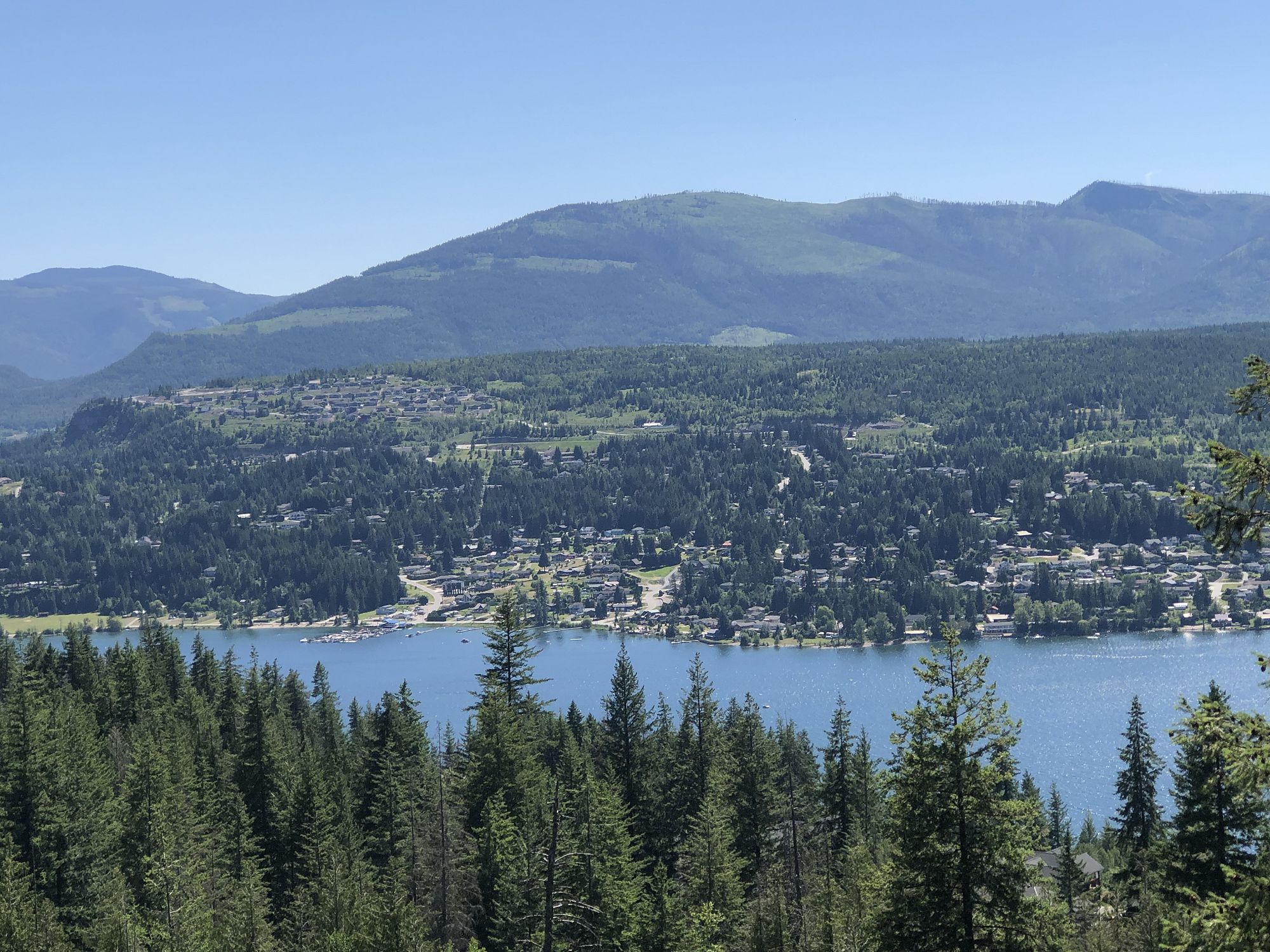
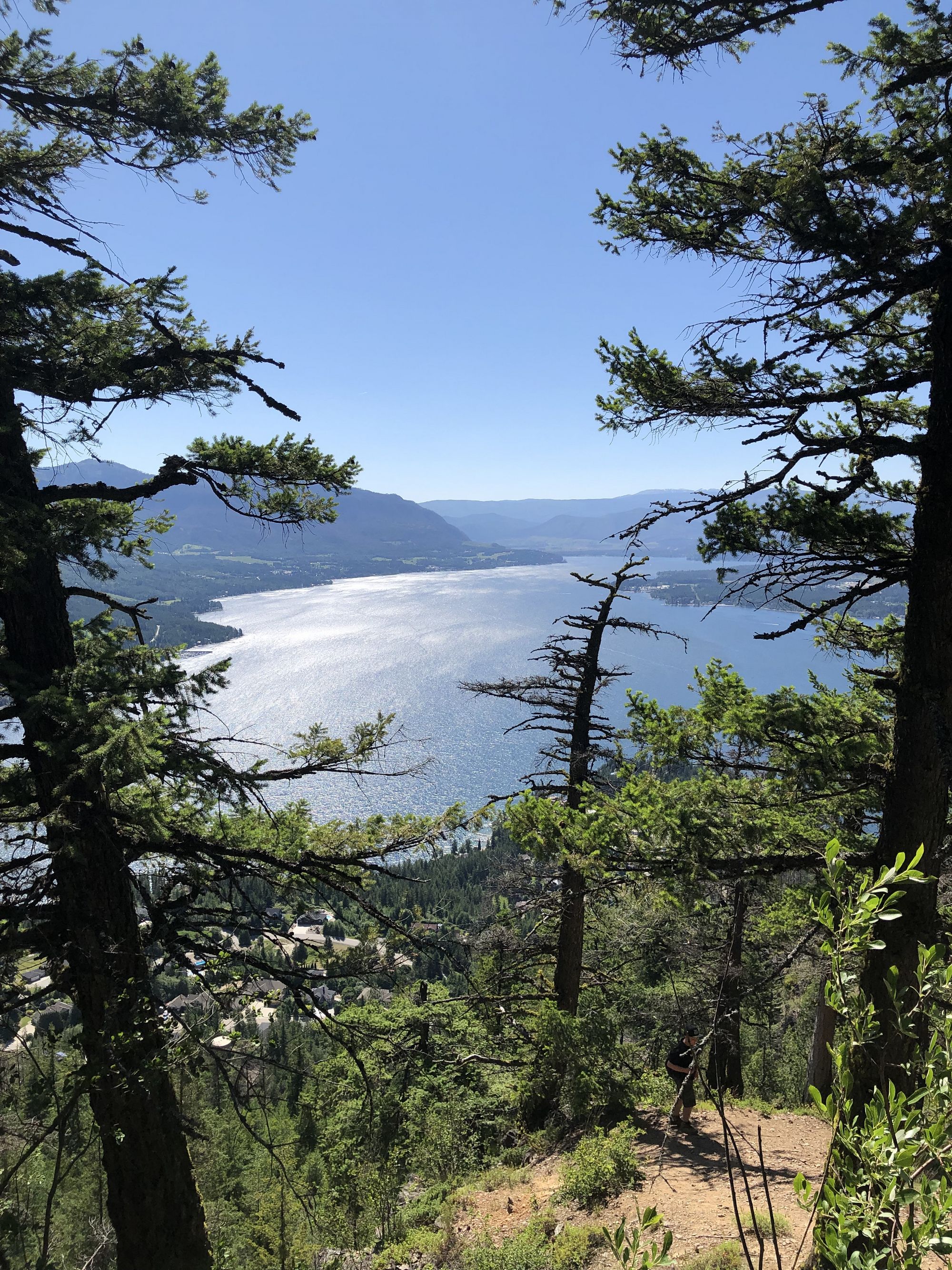
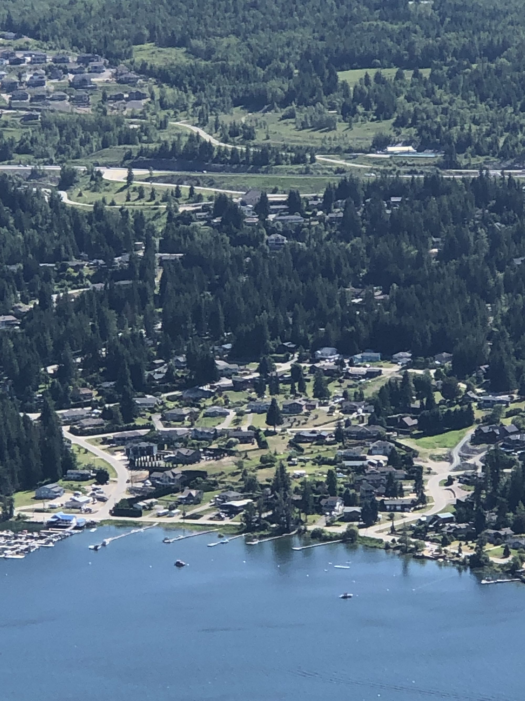
A very steep, challenging climb up switchbacks with sections of scree slope and exposed rock. The summit features panoramic views west over Blind Bay, the South Shuswap, Squilax, Chase, and Todd Mountain at Sun Peaks in the distance.
After a short flat section through forest behind the subdivision, the trail begins to climb in earnest. The trail makes its way up through a short, dangerous exposed section of loose rock. Please refrain from cutting across the switchbacks as the steep, loose hillside is prone to erosion issues. After the exposed rocky section, things become more secure but continue steeply, making this short 1.7 km feel a lot longer. The trail follows the ridgeline, eventually rounding off at the Blind Bay Lookout.
Return the way you came or make a shuttle trip by leaving a vehicle at the Balmoral Trail System trailhead and follow signs for Balmoral Lookout, south from the summit (approx. 8 km one-way from McArthur Heights to Balmoral trailheads).
Access
Approx 9.3 km east of Sorrento, or approx. 24 km west of Salmon Arm, turn north onto Balmoral Rd and travel north to Reedman Point Rd (approx. 2 km past the Blind Bay Rd junction). Turn right, then take the next left onto McBride Rd. Follow McBride Rd up through the McArthur Heights subdivision to the end of the road and park.
Photos Submit photos
Nearby Trails
Blind Bay Bluffs
Distance: 8640
Duration: 2.5 Hours (one-way)
Difficulty:  Easy to Expert Unlimited
Mt Tuam Bike Park
Distance: 776
Duration: 0.25 - 0.5+ Hour
Difficulty: Easy to More Difficult
White Lake Traverse
Distance: 7294
Duration: 2+ Hours (one-way hike)
Difficulty:  More Difficult
Exploring Respectfully
Shuswap Trails
Fostering a healthy, engaged community in the Shuswap Region – economic/environmental/social – through well designed, maintained, and promoted trails connecting people, culture, and landscape