Tplaqín (Enderby Cliffs) Trail
Enderby & Area
Trail Information
| Distance | 6.5 km (one way) km |
|---|---|
| Duration | 2+ Hours (one way) |
| Difficulty |  More Difficult More Difficult |
| Geo Referenced PDF | View Map |
| Access Map | Google Maps |
| Latitude / Longitude | 50.57599482, -119.10463449 |
| Activities |    |
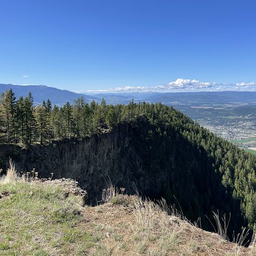
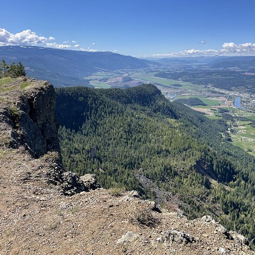
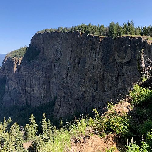
Steep edges; stay clear and keep children well back. This is a narrow and exposed trail with sections of loose dirt and rock. Slippery when wet. Use at own risk.
About
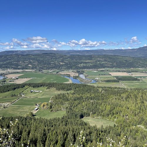
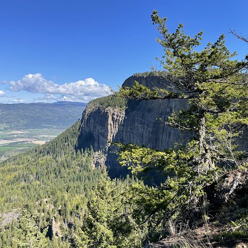
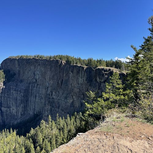
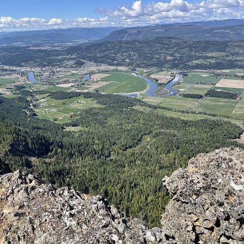
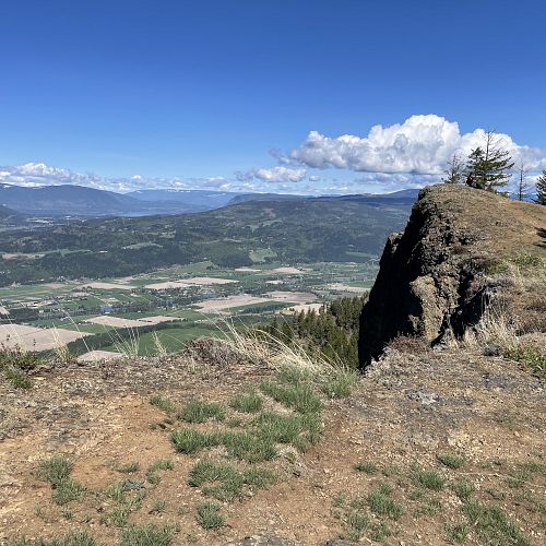
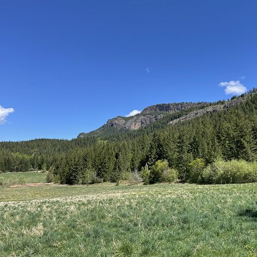
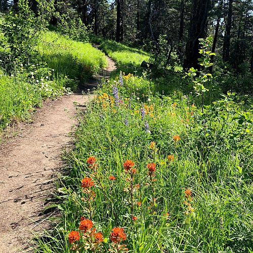
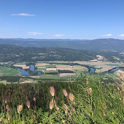
Splatsin, BC Parks, and the Shuswap Trail Alliance leadership continue working together to improve this iconic trail, reducing erosion issues and protecting an important Splatsin te Secwépemc sacred area. This trail in Tplaqin Provincial Park offers views high above the town of Enderby with a unique perspective of the Shuswap and the North Okanagan. Hikers atop the cliffs can watch the soaring birds (including Turkey Vultures and Bald Eagles) play on the updrafts created by the steep rock face and take a step back in time to the Tertiary age when the cliffs were formed.
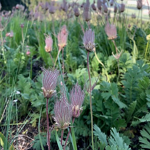
Please stay on the trail to protect this sensitive ecosystem and avoid damaging erosion cutoffs.
For more information visit bcparks.ca.
Access
From downtown Enderby, follow signs to Mabel Lake (or head east down Cliff Ave) and cross the Shuswap River Bridge onto Mabel Lake Rd. Continue for 2 km east on Mabel Lake Rd then turn left (north) onto Brash Allen Rd. Stay right at the fork in the road at 1.4 km and continue down the unpaved road another 1.6 km until you reach the Provincial Park parking area.
Photos Submit photos
Nearby Trails
Larch Hills Snowshoe
Distance: 17302
Duration: 0.5 - 3+ Hours (various)
Difficulty:  Easy to Most Difficult
Exploring Respectfully
Shuswap Trails
Fostering a healthy, engaged community in the Shuswap Region – economic/environmental/social – through well designed, maintained, and promoted trails connecting people, culture, and landscape

