
Scotch Creek - Hlina
North Shuswap
Trail Information
| Distance | 1.5 km (out and back) to 5.5 km (round trip) |
|---|---|
| Duration | 1.5 Hours (out and back) to Scotch Creek Lookout; 3 Hours (round trip) via Hlina Trail |
| Difficulty |  More Difficult More Difficult |
| Geo Referenced PDF | View Map |
| Access Map | Google Maps |
| Latitude / Longitude | 50.954122, -119.425357 |
| Activities |      |
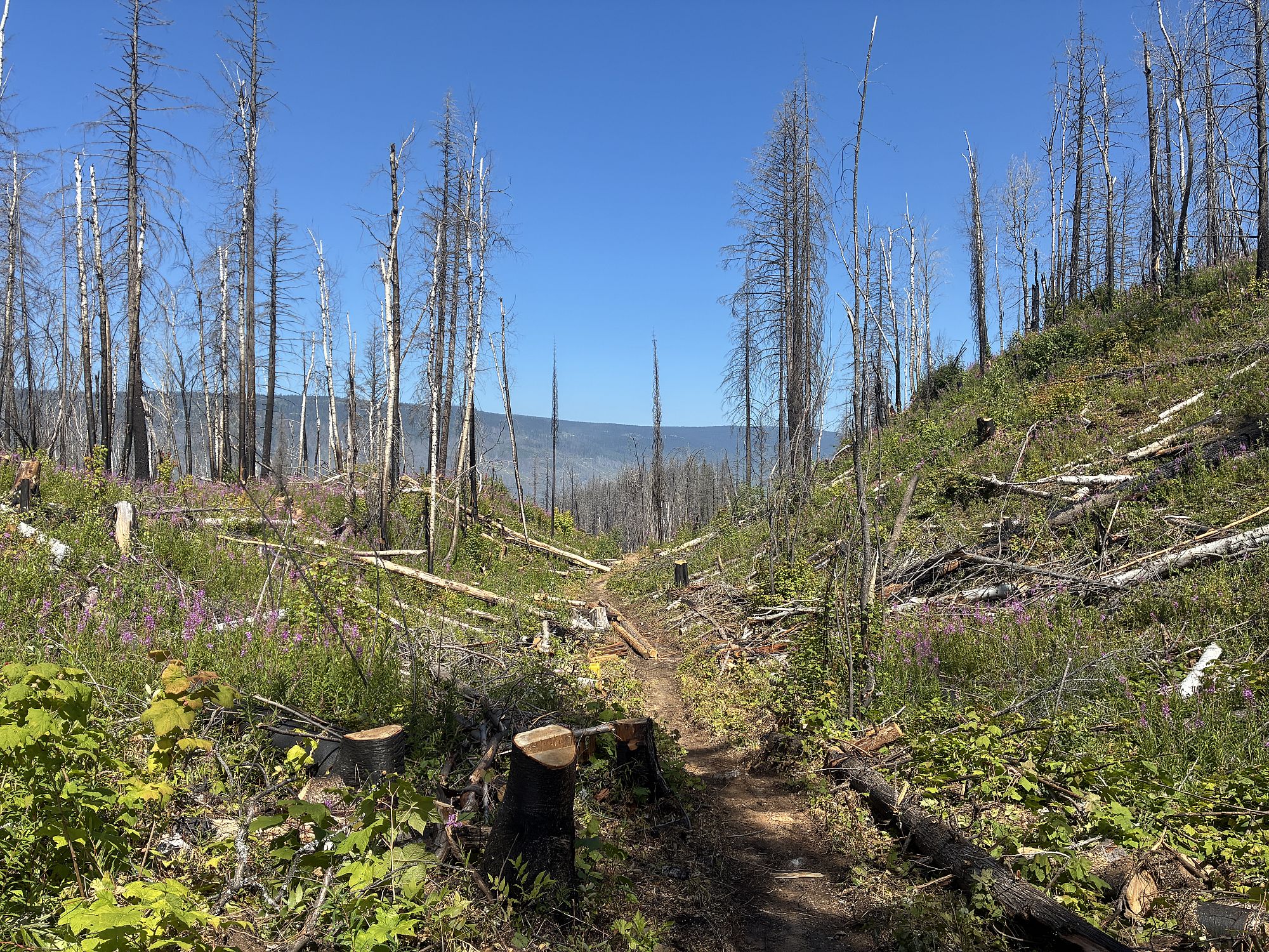
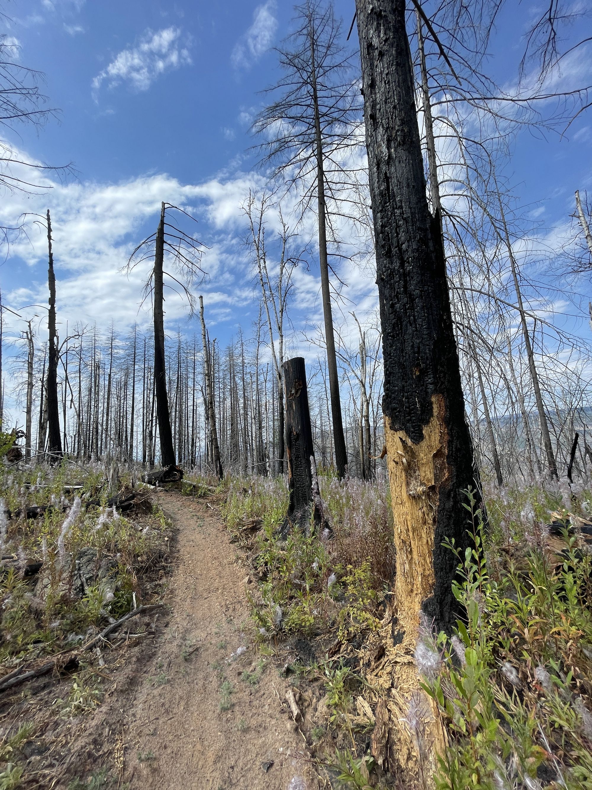
This trail system is now open after completion of wildfire damage repairs. Numerous hazards continue to exist due to wildfires, including hazardous trees, terrain instability, and ash pits. Please stay to the trail for your own safety.
Steep edges at viewpoints. Stay clear, and keep children well back. This is a wilderness trail. Be prepared. Make noise for bears. Access is on active logging road. Watch for vehicles. Use with care. Please take special care to protect the fertile grass forage by staying to the trails and avoid disturbing cattle.
About
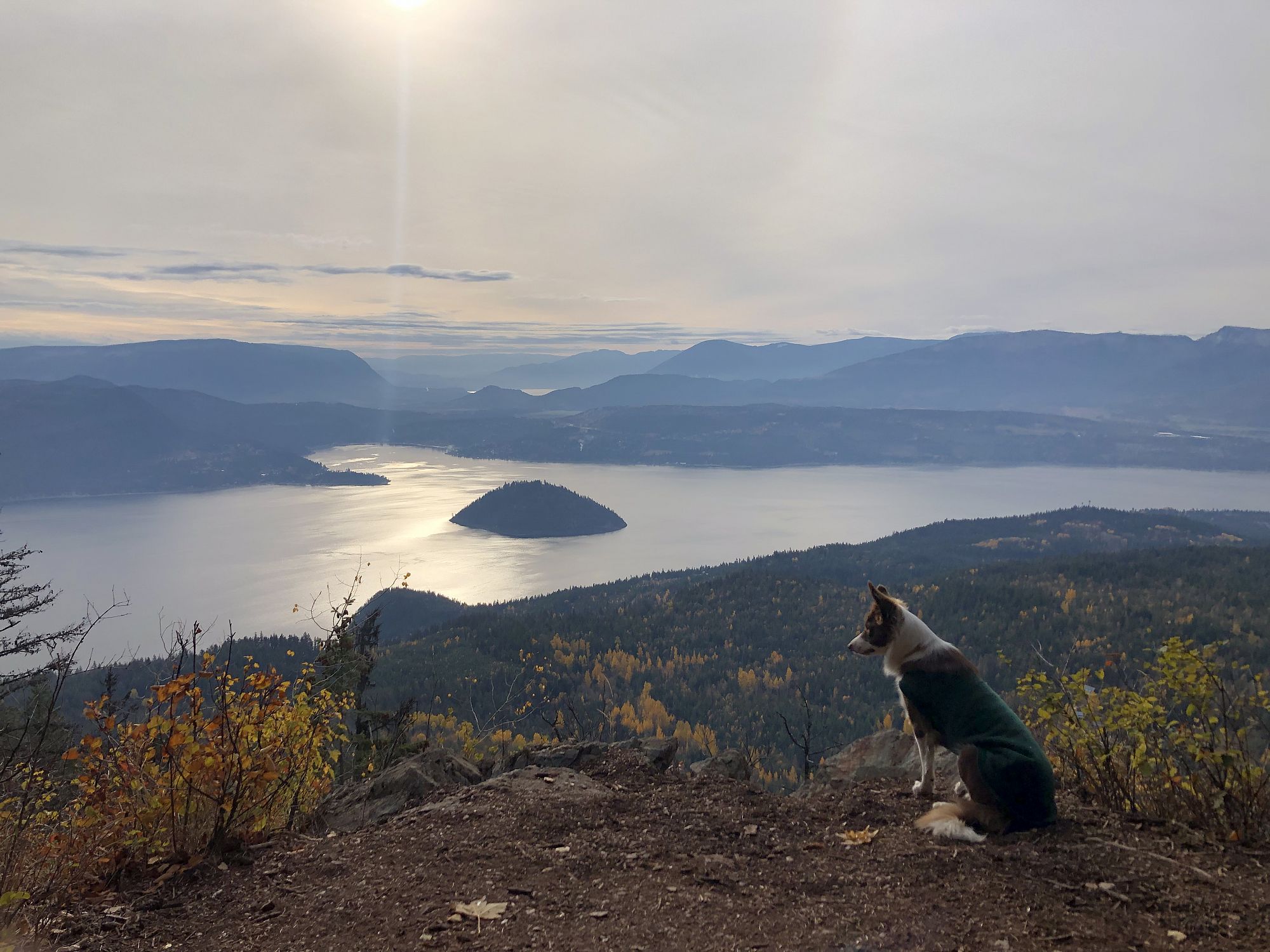
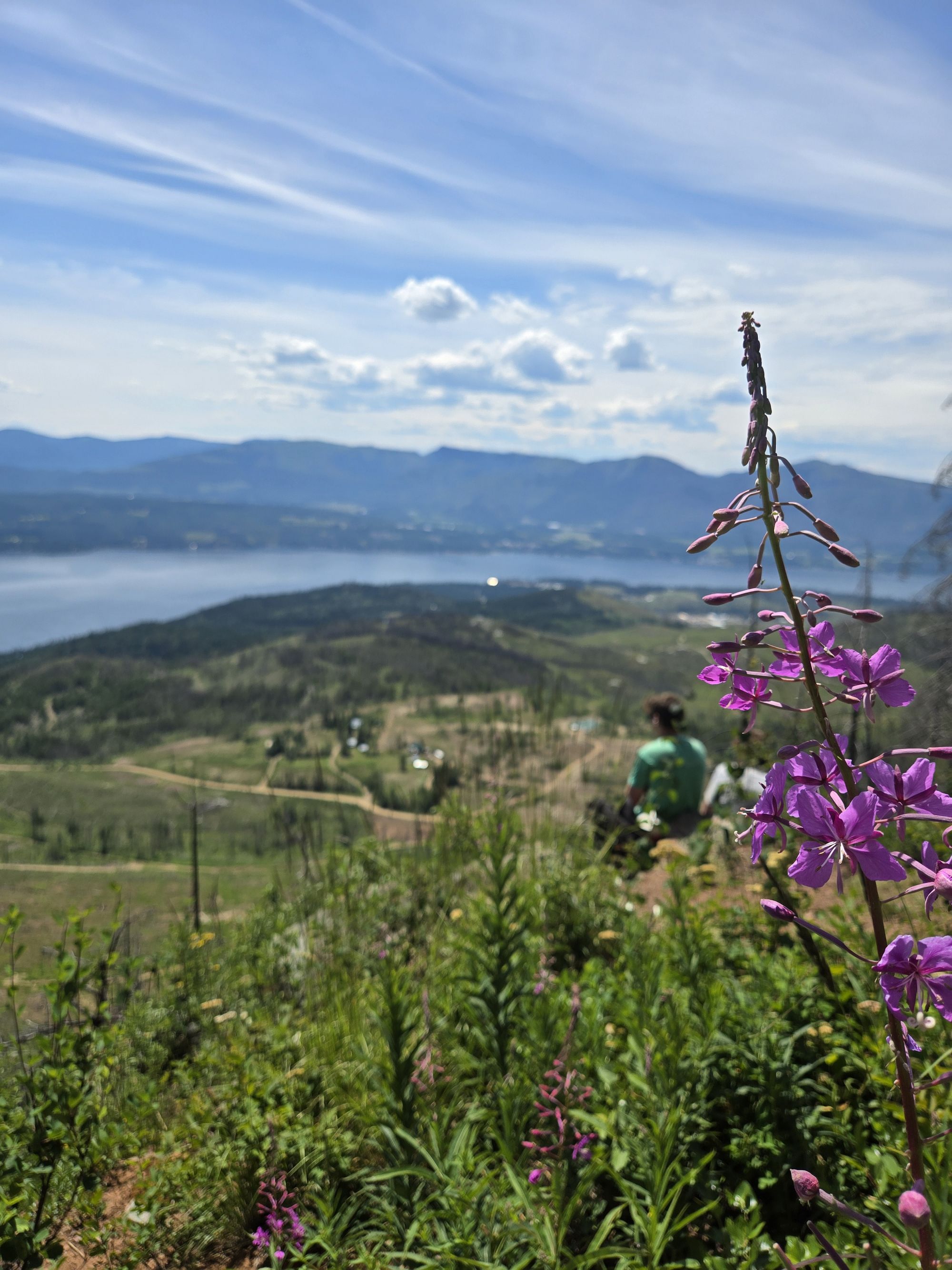
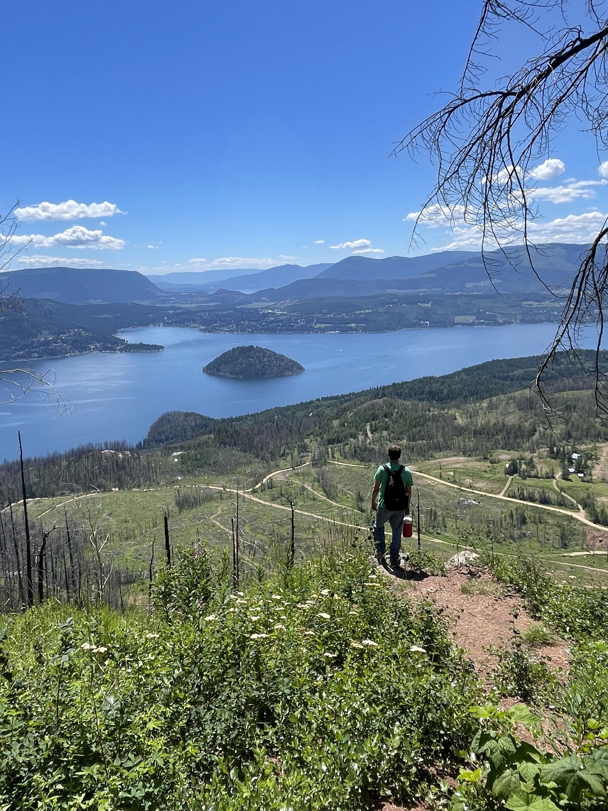
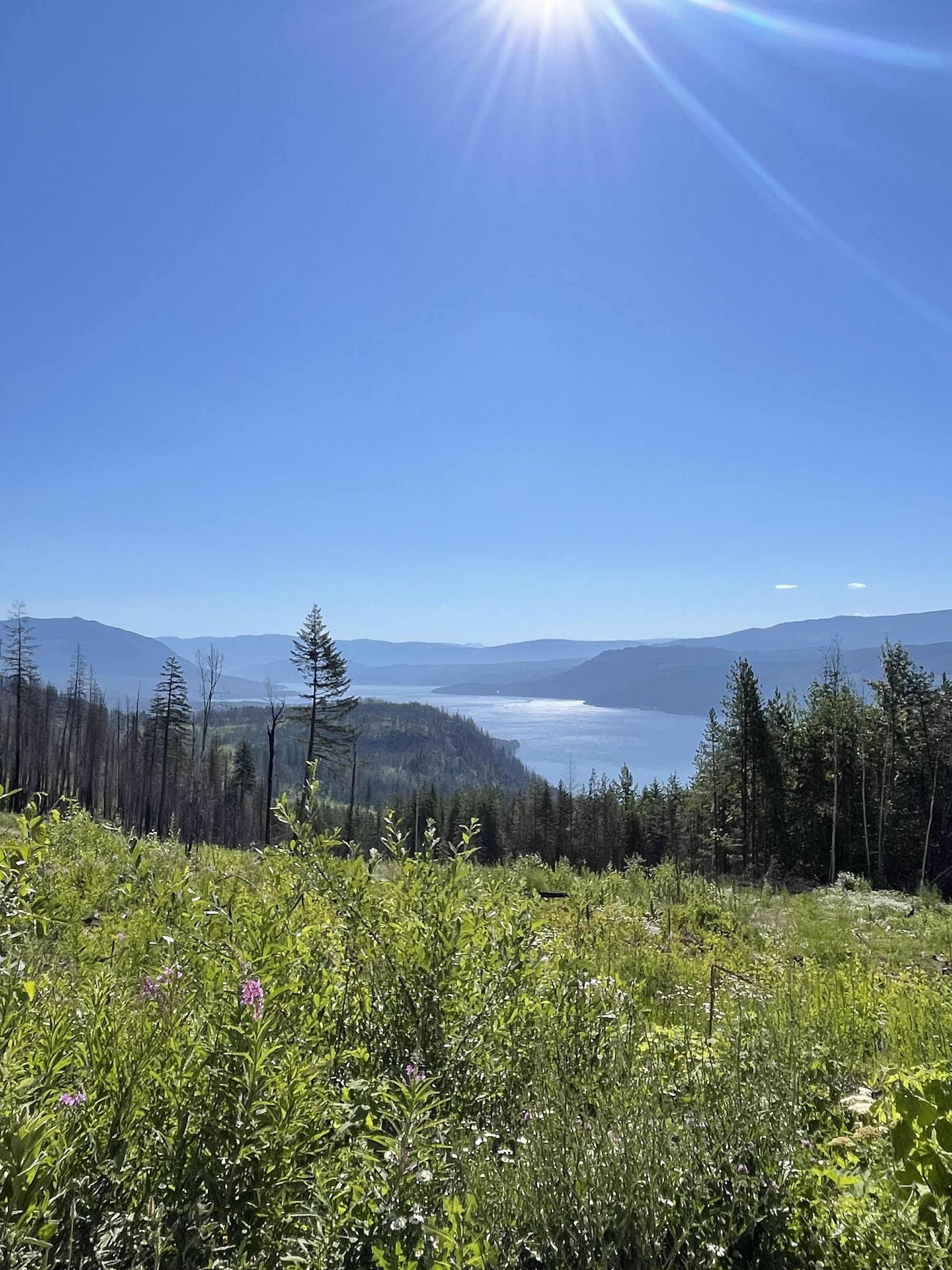
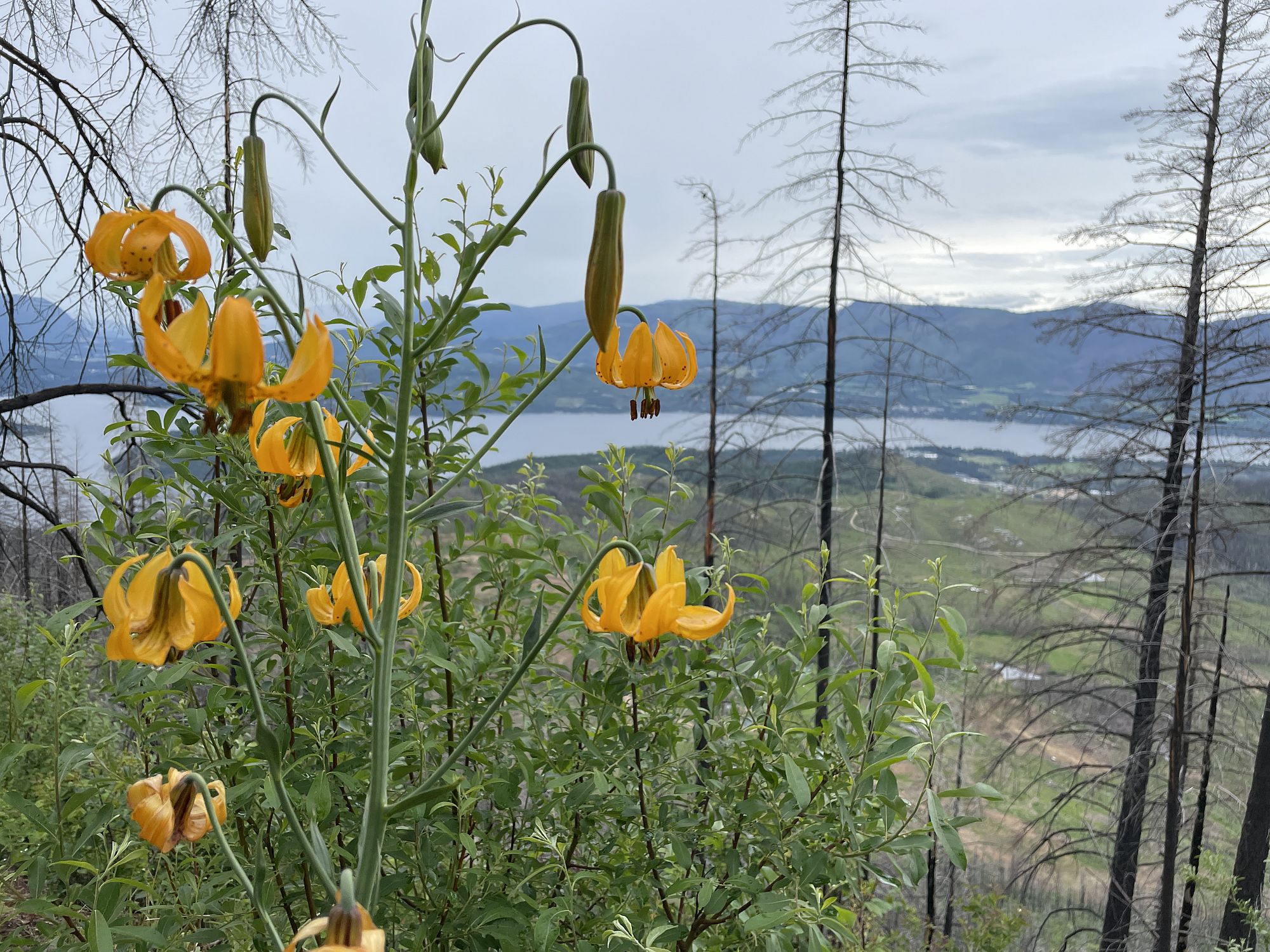
Forest walk to impressive views over Shuswap Lake high above Scotch Creek. On a clear day Shuswap Lake and the highlands to the south, east and west are spread out in dramatic panoramas. It is not uncommon to watch eagles playing in the updrafts above the bluffs on a warm day. Appropriate precautions for bears should be made, as wildlife is prevalent.
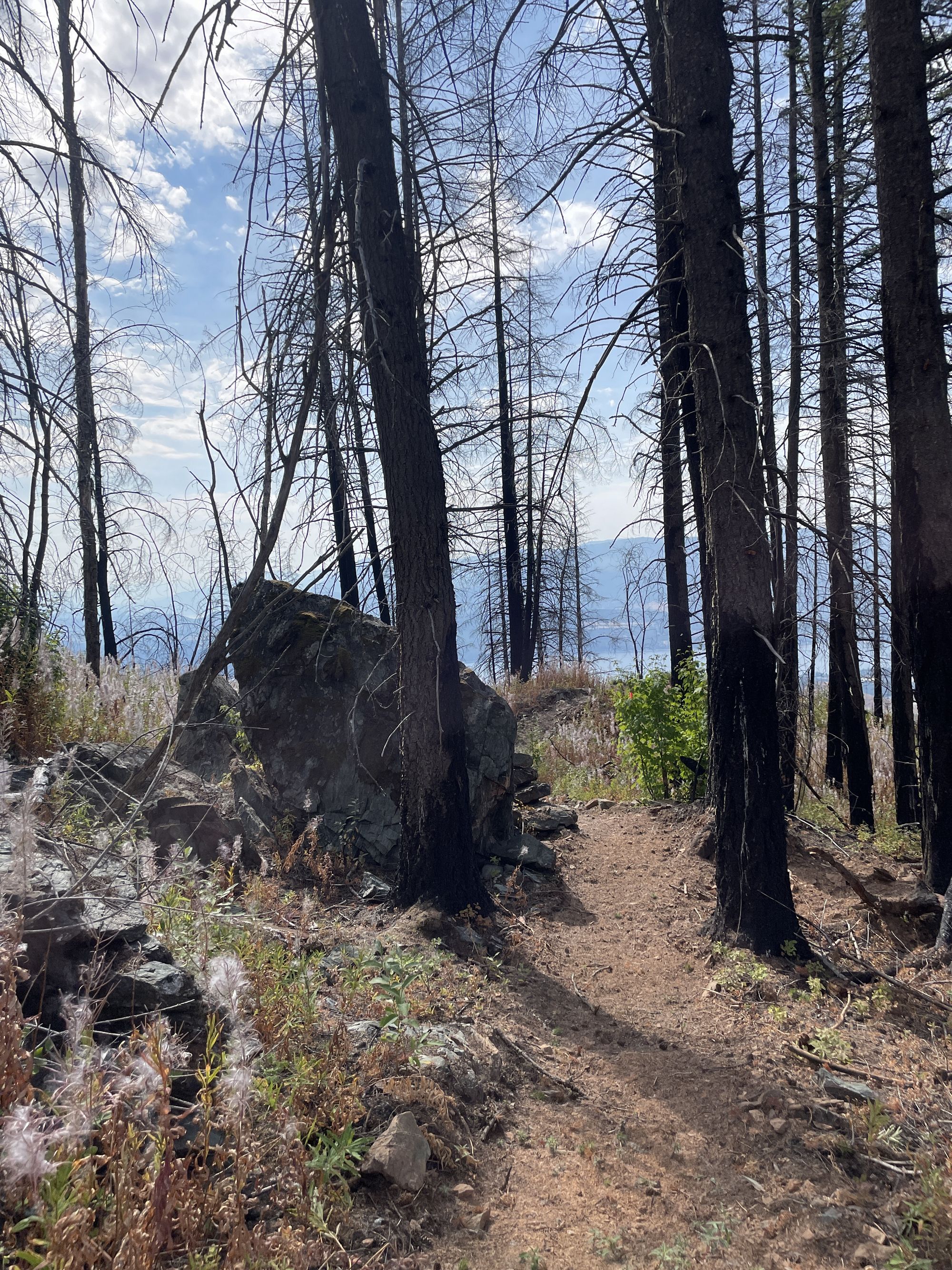
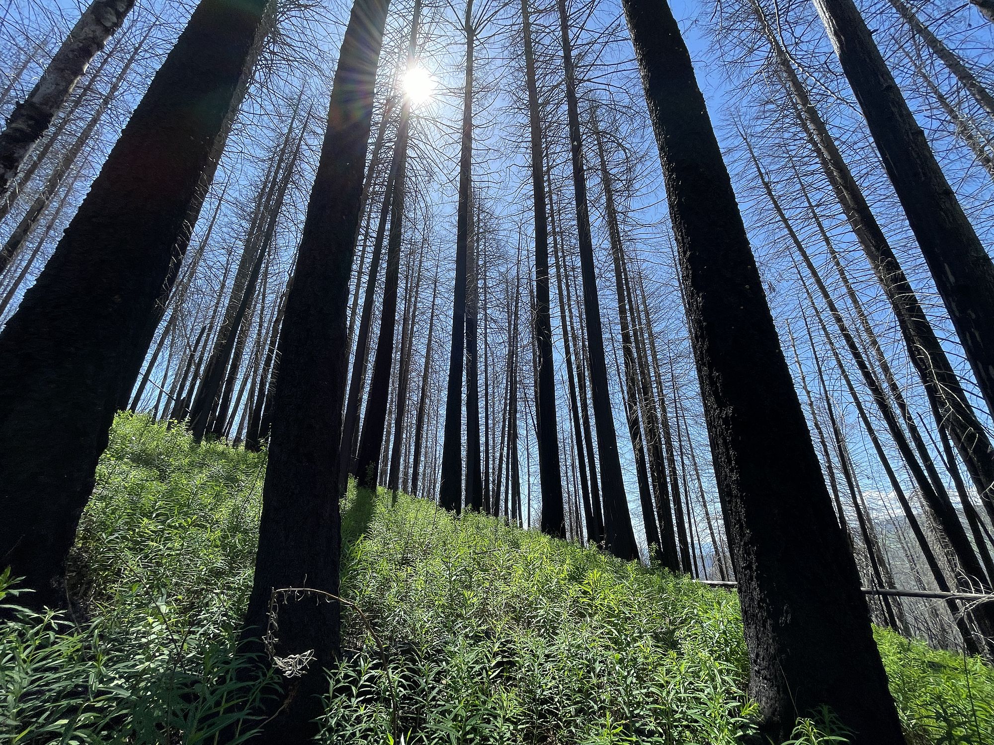
The Scotch Creek/Hlina trail was built as a project of the Columbia Shuswap Regional District Area F Parks Commission, in partnership with the Shuswap Trail Alliance, and local trail enthusiasts. In 2023, the Bush Creek East wildfire burned through the area, destroying sections of the trail system. With support from the Province of British Columbia's Disaster Financial Assistance program and BC Wildfire Service, the trail system has been restored. Significant amounts of hazard tree assessments and falling were done by BC Wildfire Service and the trail system was almost completely rebuilt. Now, the trail offers a unique opportunity to witness a variety of fire effects and the forest's natural recovery.
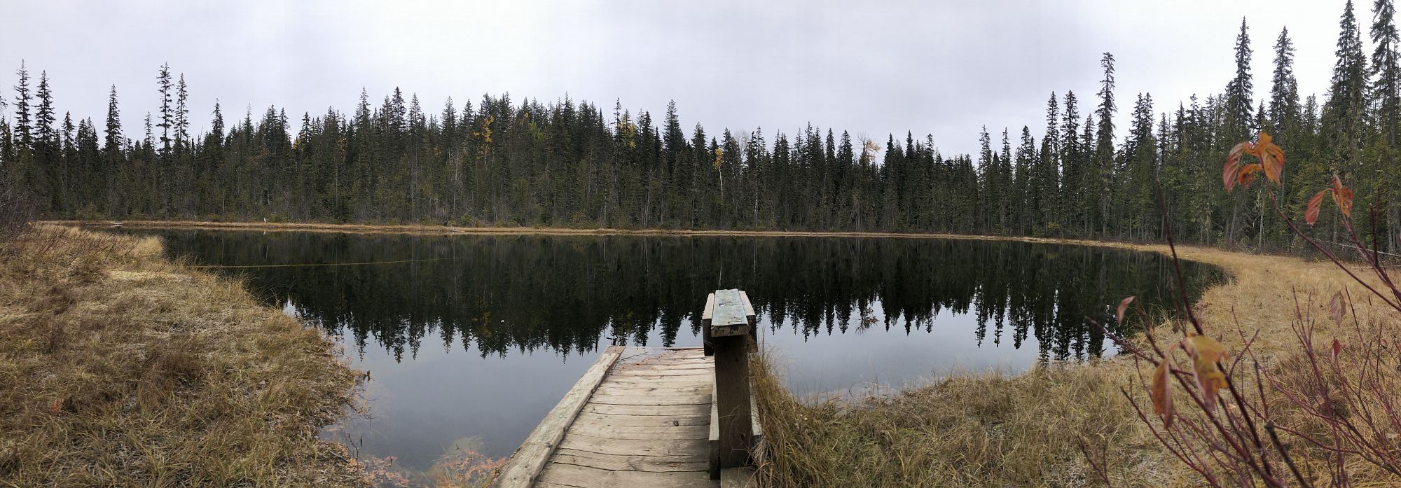
The Scotch Creek Lookout trail is a short 1.5 kms out-and-back and the most direct route to the main lookout, an impressive viewpoint high above Scotch Creek. Taking the north and south lookout loops creates a lovely 3.5 km round trip with additional viewpoints. The Hlina trail is an additional 2.5 km singletrack trail that traverses bluffs with additional viewpoints, goes through aspen forest, and has smooth, wide corners perfect for mountain biking. From the north end of Hlina Trail, another 1.8 km on the FSRs will loop you back to the parking area. Be sure to find the short side spur to Lost Lake just before returning to the vehicles.
Access
Just east of Scotch Creek on the Squilax-Anglemont Rd, turn left (east) onto the east end of Leopold Rd. 2.5 km up Leopold Rd, stay left to start on Scotch Creek Hlina FSR. Follow directional signs on 4x4 posts to stay on Scotch Creek Hlina for 4.5 km, where you again stay left at the fork turning onto Scotch Hlina West FSR. The trailhead is another 800 m, where the start of the trail is marked with a kiosk and landmark post. Please leave adequate space for others to turn around at the trailhead. There are multiple pull-outs along the 800 m of Scotch Hlina West FSR that can be used for parking.
Photos Submit photos
Nearby Trails
Mt Tuam Bike Park
Distance: 0.27
Duration: 0.25 - 0.5+ Hour
Difficulty:  Easy to More Difficult
Exploring Respectfully
Shuswap Trails
Fostering a healthy, engaged community in the Shuswap Region – economic/environmental/social – through well designed, maintained, and promoted trails connecting people, culture, and landscape