
Caribou Lake Trail
Sicamous & East Shuswap
Trail Information
| Distance | 1.2 km (one-way) |
|---|---|
| Duration | 0.5 Hour |
| Difficulty |  Easy Easy |
| Access Map | Google Maps |
| Latitude / Longitude | 50.89509027, -118.57957436 |
| Activities |    |
The Forest Service Rd can be very rough. 4WD with high suspension is recommended.
About
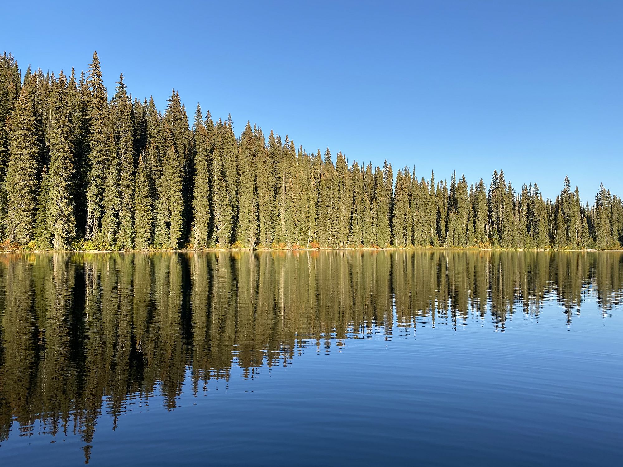
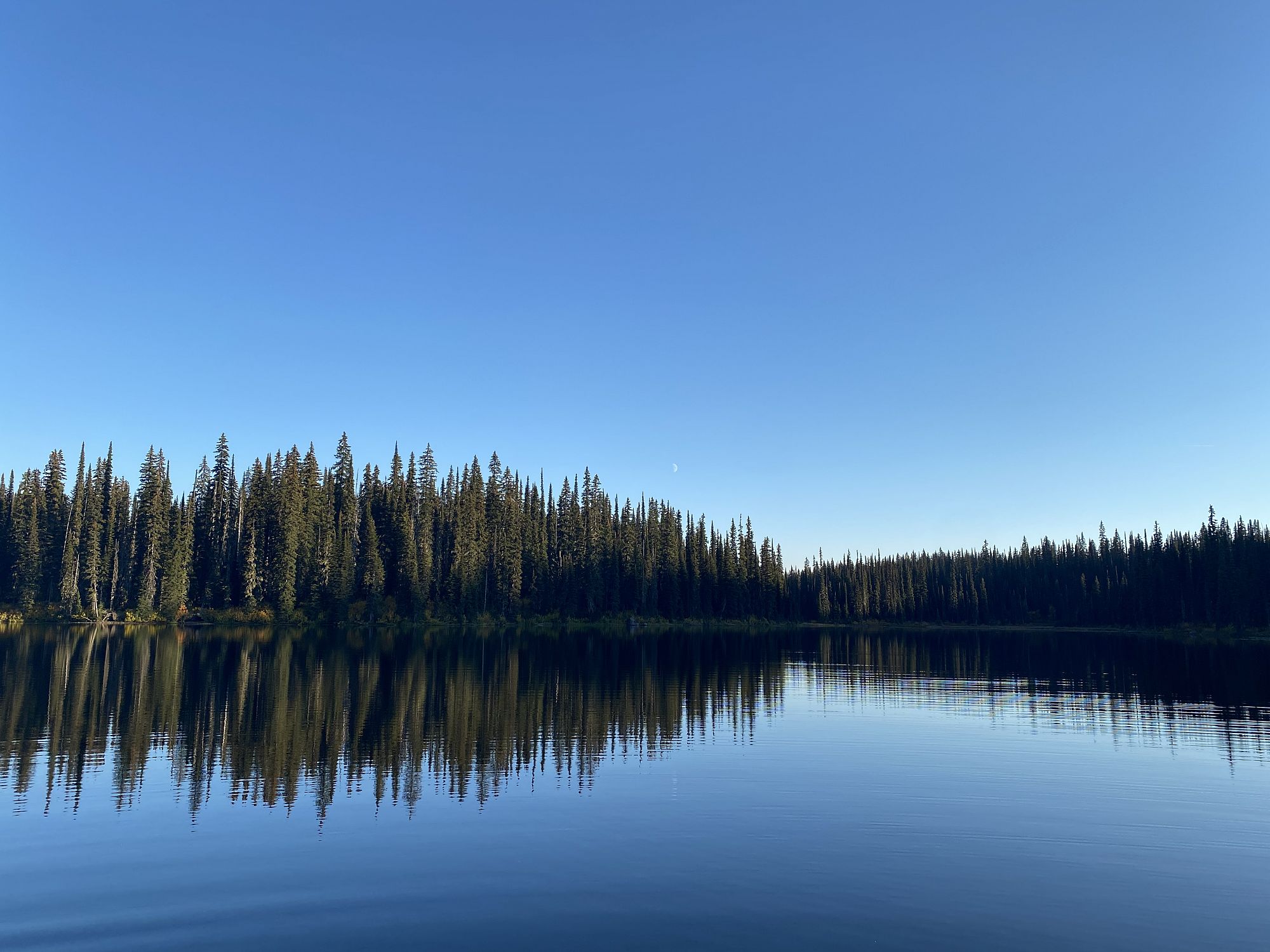
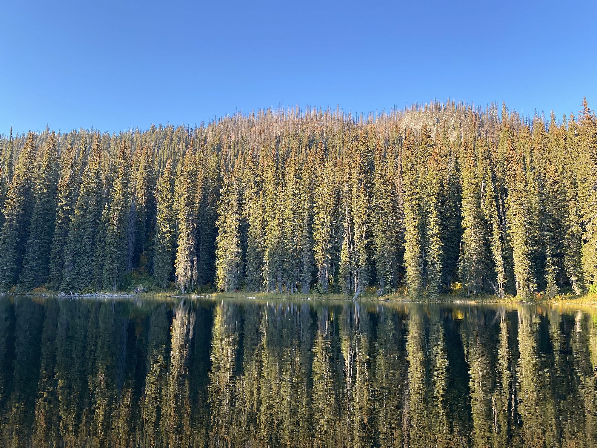
This short 1.2 km trail leads to a pristine sub-alpine mountain lake with good fishing and a wilderness campsite. For more information see Mount Griffin Park at bcparks.ca.
Access
Take Hwy 1 approx. 16 km east of Sicamous to the Malakwa Loop Rd. Turn right (south) and then immediately right again on Oxbow Frontage Rd. Take the first left onto Yard Creek Loop Rd and go 2.5 km to the end where the Yard Creek FSR begins. Take this road for 10.6 km to a junction. Take the left turn and stay on the main road for another 14.4 km.
Photos Submit photos
Nearby Trails
Eagle Pass Mountain
Distance: 3.9
Duration: 2.5 Hours (one way) Eagle Pass Lookout
Difficulty:  Most Difficult
 More Difficult
Exploring Respectfully
Shuswap Trails
Fostering a healthy, engaged community in the Shuswap Region – economic/environmental/social – through well designed, maintained, and promoted trails connecting people, culture, and landscape