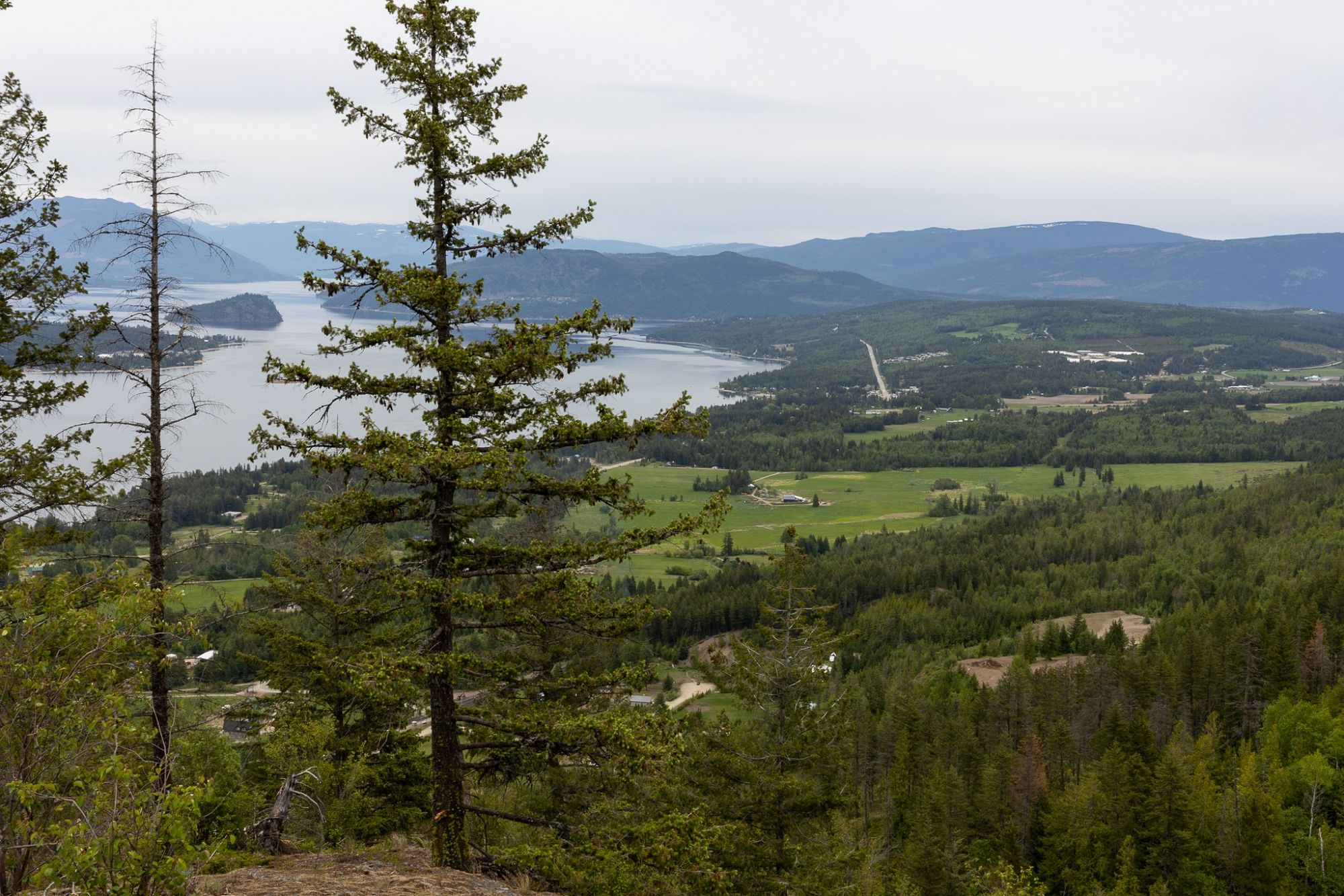
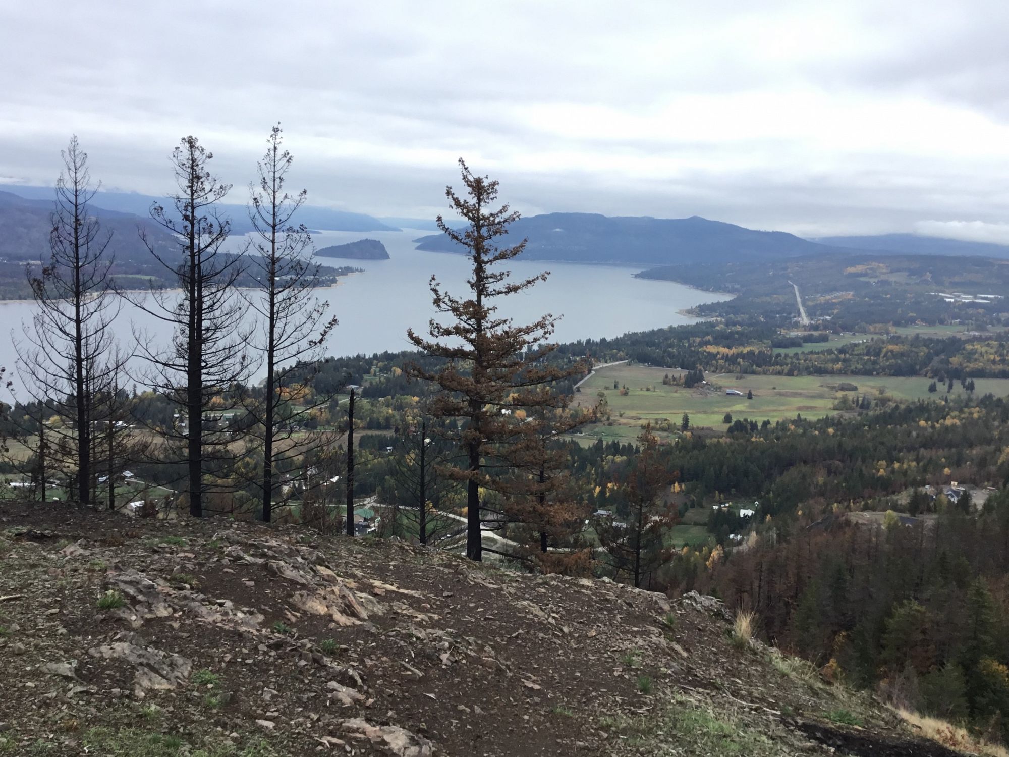
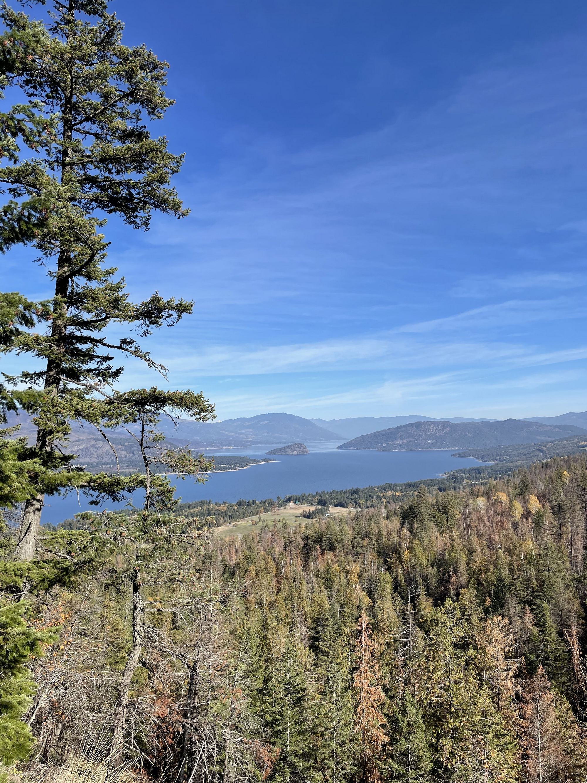
Mt Baldy Lookout
South Shuswap
Trail Information
| Distance | 3.3 km (one way to lookout), 7.6 km (return via upper loop) km |
|---|---|
| Duration | Various |
| Difficulty |  More Difficult More Difficult |
| Geo Referenced PDF | View Map |
| Access Map | Google Maps |
| Latitude / Longitude | 50.87897892, -119.51573574 |
| Activities |     |
Status:
This trail is currently closed until further notice due to wildfire damage.
This trail is currently closed until further notice due to wildfire damage.
About
This trail system was damaged during the 2023 wildfires and is closed. Repairs were started summer 2024 and will continue through summer 2025. Watch this page for updates on fire repairs and closure status.
Photos Submit photos
Nearby Trails
Mt Tuam Bike Park
Distance: 776
Duration: 0.25 - 0.5+ Hour
Difficulty:  Easy to More Difficult
Exploring Respectfully
Shuswap Trails
Fostering a healthy, engaged community in the Shuswap Region – economic/environmental/social – through well designed, maintained, and promoted trails connecting people, culture, and landscape